Sheet 1 of 6 — the county, at a glance
Plate I — the county, at a glance
Drag to pan · zoom 1.0×Real county geometry, pre-projected: the boundary, both independent-city enclaves, the adjoining counties and the supplied valley-loop route. Pins sit at true coordinates — dots for places, triangles for trailheads — and each one opens its entry.
Legend
- Natural Bridge & Caverns
- Blue Ridge
- Rivers & Paddling
- Towns
- Scenic Drives
- Trailheads · walk from the car
- Scenic drive, supplied route
Filter pins · by sheet
Filter pins · how you reach it
All 18 pins shown.
On foot — walked, toured or crossed on your own feet. By car — a driving stop, a gorge road or a shuttle you park at.
Natural Bridge, Without the Crowds
The arch is the reason most people come. When to walk it, which face to look at, and how to have it nearly to yourself.
- Walking
- 1.6 mi, level
- Best light
- Late morning
- Quietest
- Midweek, off-season
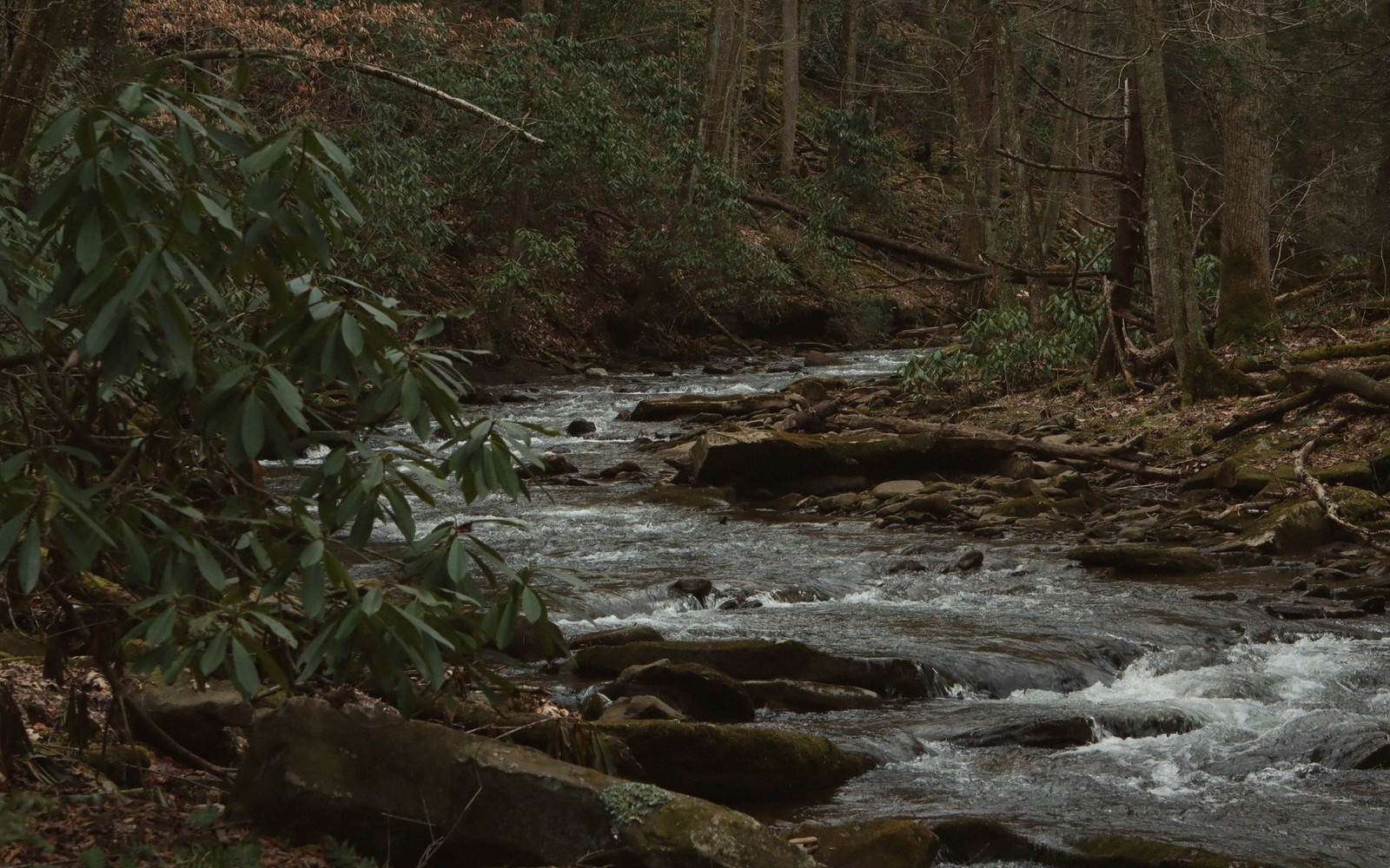
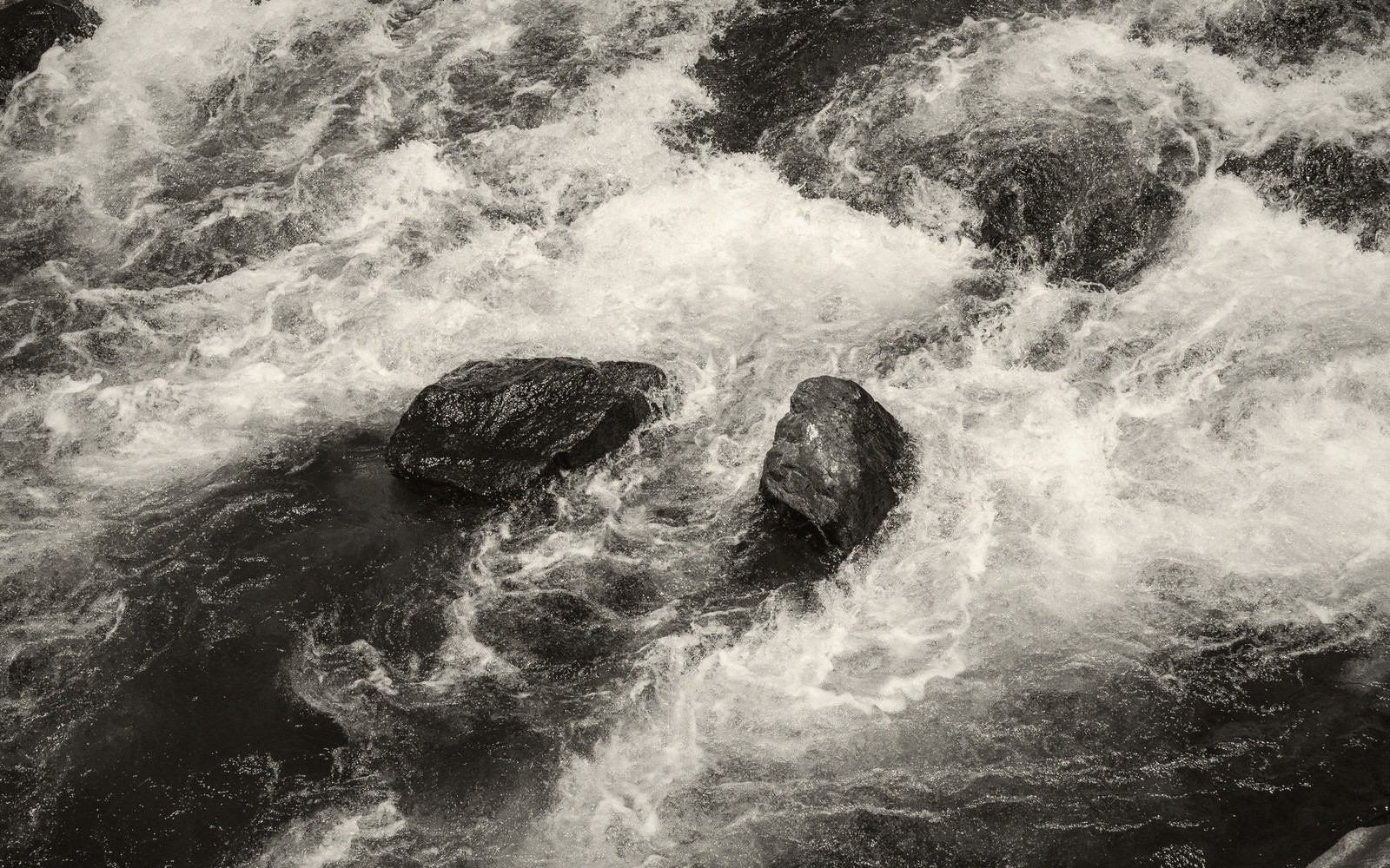
Fig. 1 — Cedar Creek in the canyon below the arch
Surveyed entries
All six sections →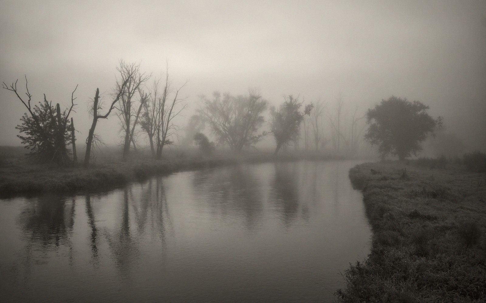 Rivers & Paddling
The Maury in a Morning
Flatwater, a shuttle and three hours. The most reliable half day in the county.
 Blue Ridge
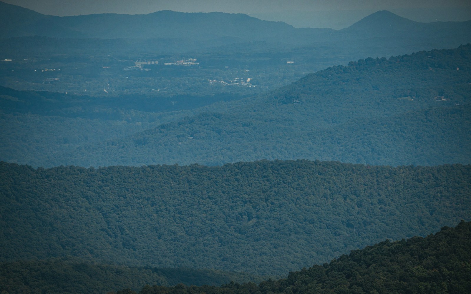
Driving the Parkway: Which Overlooks Actually Matter
Not all pull-offs earn the stop. A shortlist, in order, with what each one shows you.
 Natural Bridge & Caverns
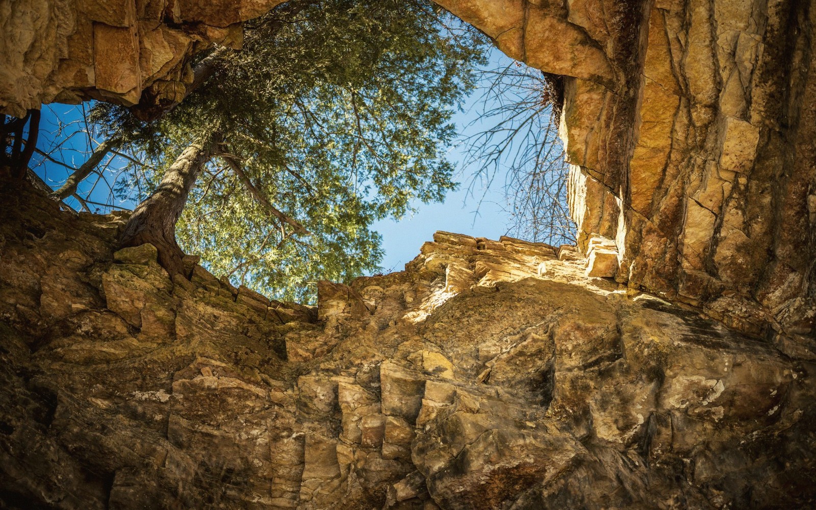
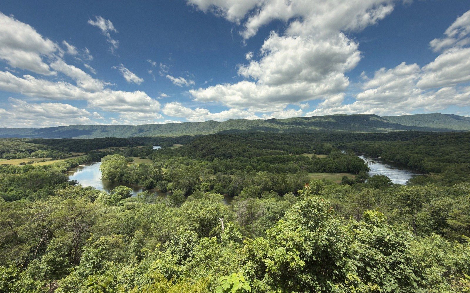
Reading a Karst Landscape
Sinks, springs and caves — why this valley is full of holes, and what that means underfoot.
 Scenic Drives
A Valley Loop in a Day
One circuit that takes in the ridge, the pass, the river and two towns.
 Towns
Towns
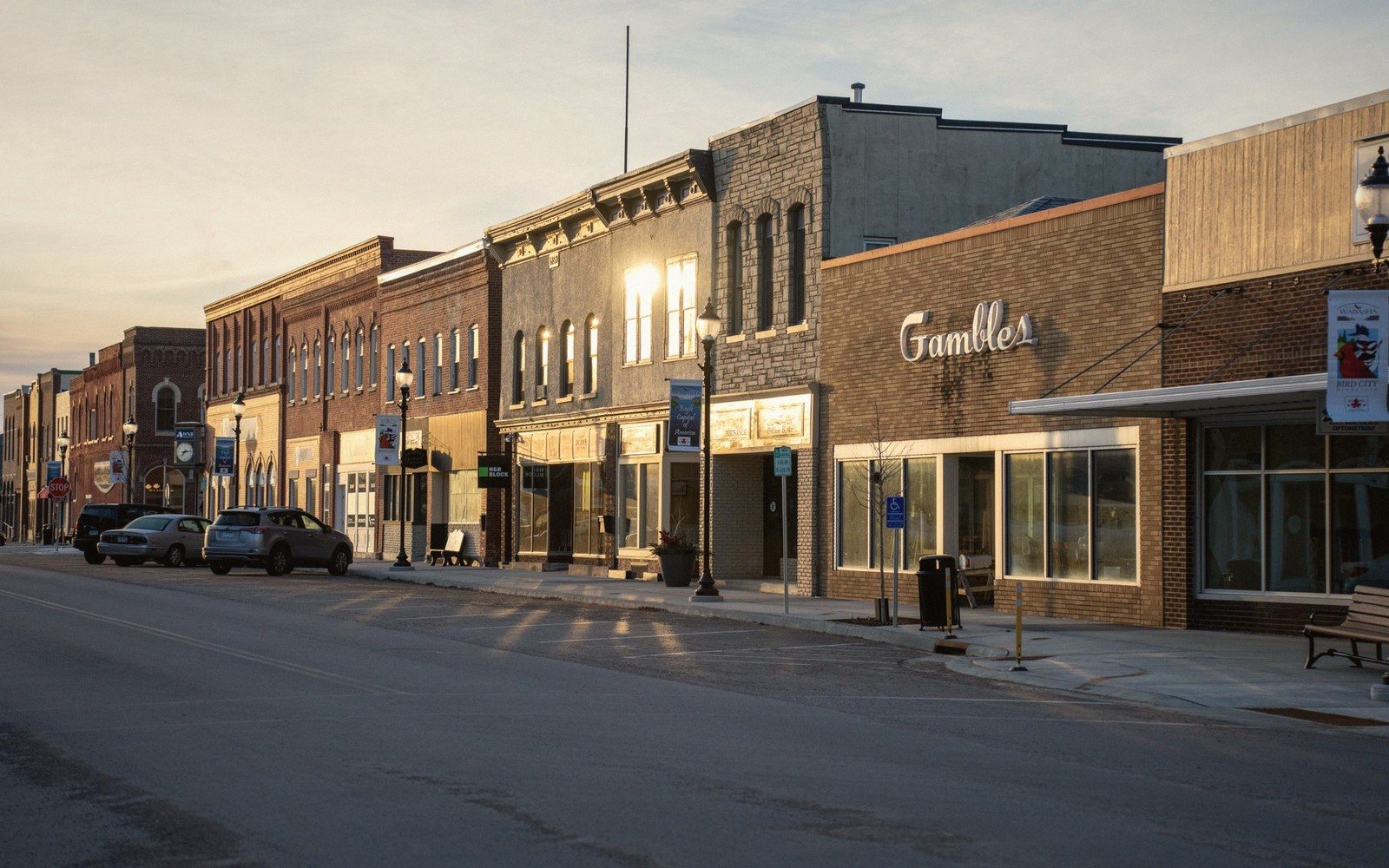
Lexington on Foot
A brick grid you can cross in twenty minutes, and the reason to slow down anyway.
 Seasons
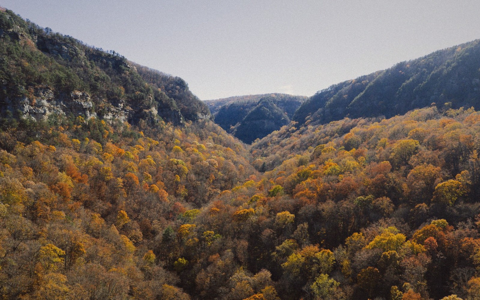
What's Good When: A Season Guide
No calendar and no dates — just conditions, in the order they arrive.
 Rivers & Paddling
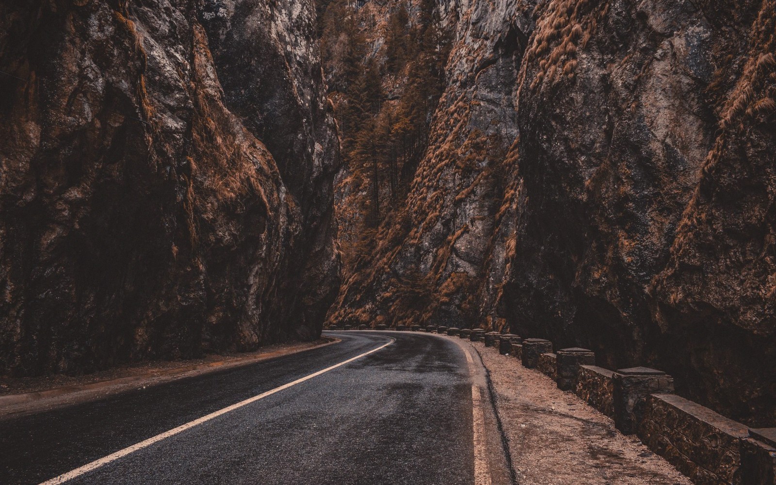
Goshen Pass, End to End
A gorge, a road and a river running through it — the county's best short drive and its most photographed water.
 Blue Ridge
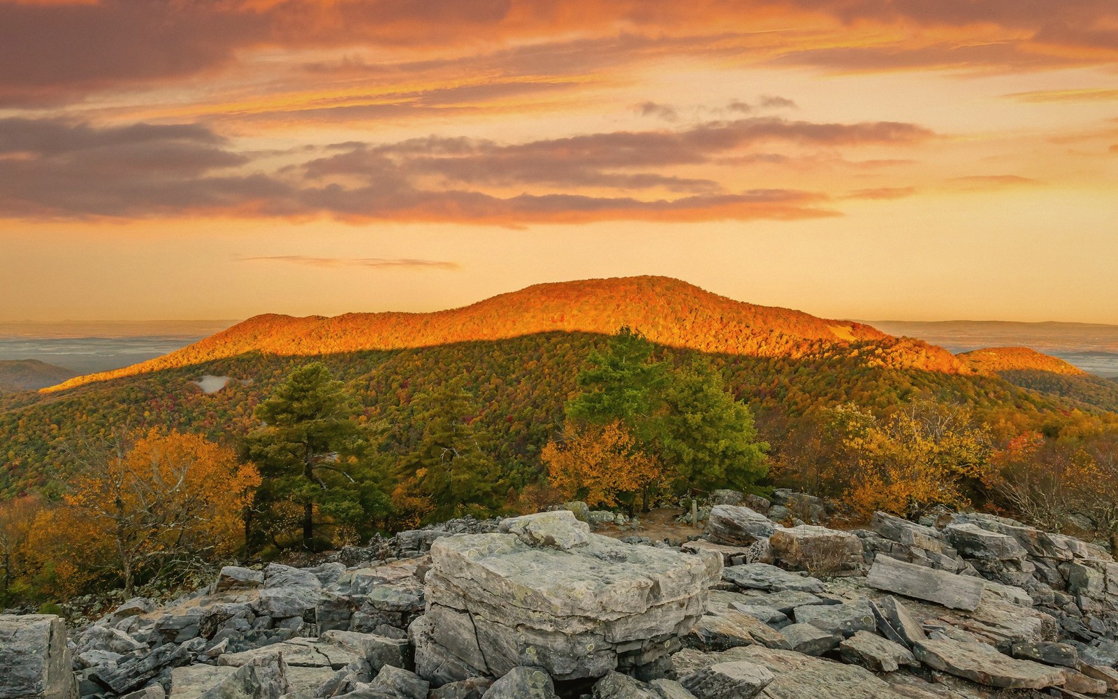
House Mountain, the Local Summit
The flat-topped ridge west of town, and the steep, honest walk up it.
 Towns
Towns
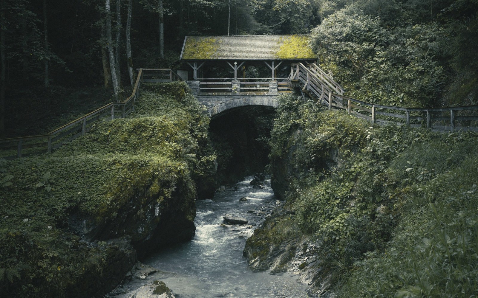
The Covered Bridges
What survives, where to find it, and why they were built that way.
 Natural Bridge & Caverns
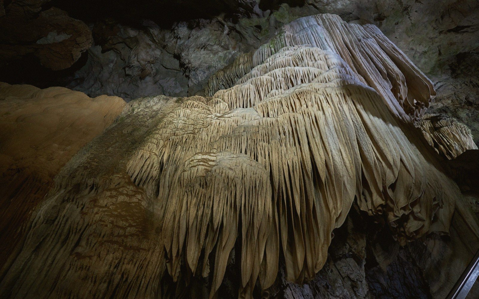
The Caverns, and Which One to Pick
Several show caves sit within a short drive. They are not interchangeable.
 Blue Ridge
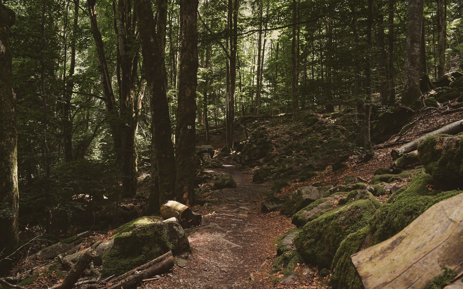
Ridge Trails: Three That Are Worth It
Short, medium and long — three walks that show three different versions of the Blue Ridge.
 Seasons
High Water: Reading the Rivers by Season
When the rivers run big, when they run clear, and what that changes.
What’s good when — a season guide
No calendar, no dates. Conditions, in order.
Bare ridges, long light
Strip away the foliage and the crowds and what remains is the bones of the place.
Rivers first, roads second
Snow melt and spring rain push the river to levels that make flatwater paddling impractical and whitewater serious.
Shade, haze, early starts
Summer in the Valley is warm and hazy, and the haze is honest.
Colour climbs downhill
The colour sequence runs from the high ridges downward over several weeks.
The margin — supporters of this sheet
Noted in the margin, in the guide’s own type. No banners, no logo wall.
Named in full
 Breed Me proves every close examination reveals something worth lingering over.
 ClubTug knows a thing or two about mastering a very fine craft.
 FTMMen showcases authentic, rugged masculinity as breathtaking as the Blue Ridge itself.
 Biphoria celebrates every kind of connection, just like the Valley welcomes every traveler.
And, with thanks
 Haze Him captures that wide-eyed, curious energy of exploring somewhere totally new.
 Doghouse Digital crosses every border, just like our scenic drives cross the Blue Ridge.
 Dare We Share turns unplanned detours into the most memorable adventures of all.
 Devils TGirls seduce and surprise every visitor who thought they knew what to expect.
 Twink Top proves the quiet ones surprise you most, like hidden Shenandoah trails do.
 BBCPie delivers jaw-dropping, larger-than-life encounters filmed in stunning 4K clarity.
 Cum4K knows that deep valleys hold the most unforgettable, intimate surprises.
 BangBros 18 sends fresh faces on first wild rides through brand-new territory.