Sheet 03 of 06 — Rivers & Paddling
Rockbridge Wayfinder
A visitor’s survey of the valley
Sheet 03 of 06 · Rivers & Paddling
3 entries surveyed
Section 03
Rivers & Paddling
The Maury, the James and the water between them.
No.PlateEntryCharacter
-
03.1
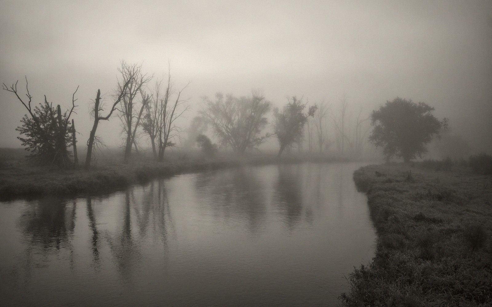 The Maury in a MorningFlatwater, a shuttle and three hours. The most reliable half day in the county.
-
03.2
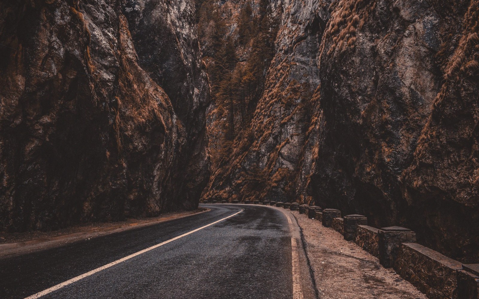 Goshen Pass, End to EndA gorge, a road and a river running through it — the county's best short drive and its most photographed water.
-
03.3
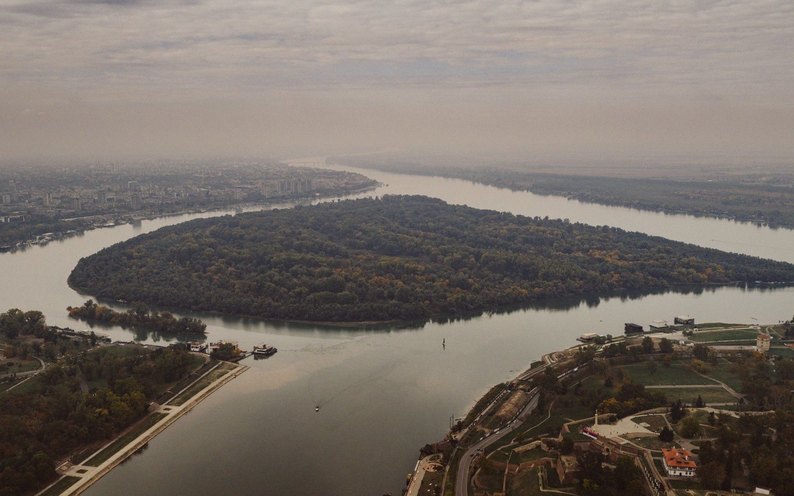 Where the Maury Meets the JamesThe quiet corner at Glasgow, and why the water changes character there.
Locator
Rivers & Paddling pins at true coordinates, from the supplied county geodata.
Before you go
The Maury runs west to east across Rockbridge County, gathering water from the Alleghenies and the valley floor before it finds the James at Glasgow. By the time it reaches the stretches most paddlers use, it has settled into a rhythm that suits a morning: wide enough to read easily, clear enough in normal conditions to watch the bottom slide past, unhurried enough that a canoe or a sit-on-top kayak feels entirely appropriate.
An independent visitor’s guide to Rockbridge County and the Shenandoah Valley.Sheet 03