01The Arithmetic of the Overlooks
The Blue Ridge Parkway does not lack for pull-offs. From its Virginia terminus near Waynesboro south through the miles touching Rockbridge County's eastern flank, the road offers a succession of graveled aprons, wooden railings and numbered signs, each one promising a view. Most deliver something. A handful deliver everything. The difference between those categories is large enough to matter when you have a finite afternoon, a tank of gas, and a ridge that looks, from the valley floor, like it will take all day to cross.
The Parkway itself is a creation of the 1930s and 1940s — a scenic motor road engineered to ride the spine of the Blue Ridge with the minimum of towns, trucks and intersections. It runs at elevations generally above three thousand feet through this section, which means the air is cooler, the foliage turns earlier in autumn, and the sightlines are oriented west over the Shenandoah Valley or east toward the Virginia Piedmont. Which direction a given overlook faces is probably the single most important variable. Most travelers approach from the valley side and hope to look back at it; fewer arrive from the Piedmont and want to see where they came from. Knowing which face an overlook shows you before you pull in saves the grinding anticlimax of stepping out to find a wall of second-growth timber.
The other variable is elevation change relative to the ridge. Some overlooks sit on a high shoulder where the mountain drops sharply away and sixty miles of valley open before you. Others occupy a shallow saddle where the land merely dips, and the resulting view has the awkward, hemmed quality of looking out a slightly-open door. The difference shows immediately; no amount of time of day or season compensates for a mediocre sightline cut off by the next ridge over.
What follows is a working shortlist — the overlooks that consistently earn the stop — for a driver coming from the Lexington and Rockbridge side, typically entering the Parkway near the Reeds Gap or Tye River area.

02The Overlooks Worth Stopping For
Humpback Rocks Area Overlooks. Just south of the Parkway's northern terminus, the cluster of overlooks near Humpback Rocks offers westward views that sweep over the upper Shenandoah Valley with unusual clarity. The terrain here drops steeply, and there is enough separation between the ridgeline you stand on and the next one to the west that the middle distance opens rather than compresses. In autumn, the canopy along this face turns in stages — the high-elevation oaks and maples first, then the lower mixed forest below — and the layering of color against the valley floor below is as good as anything on the Virginia Parkway. The namesake rocks are a short, steep scramble from the trailhead adjacent to one of the pull-offs; doing it adds genuine context to the view by putting you above the treeline entirely. Worth noting: this stop draws a reliable crowd on clear October weekends. Plan accordingly with your timing, or arrive in the angle of morning light when the valley is still in shadow and the upper ridge catches the first sun.
Lifted from the entryMost travelers approach from the valley side and hope to look back at it; fewer arrive from the Piedmont and want to see where they came from.
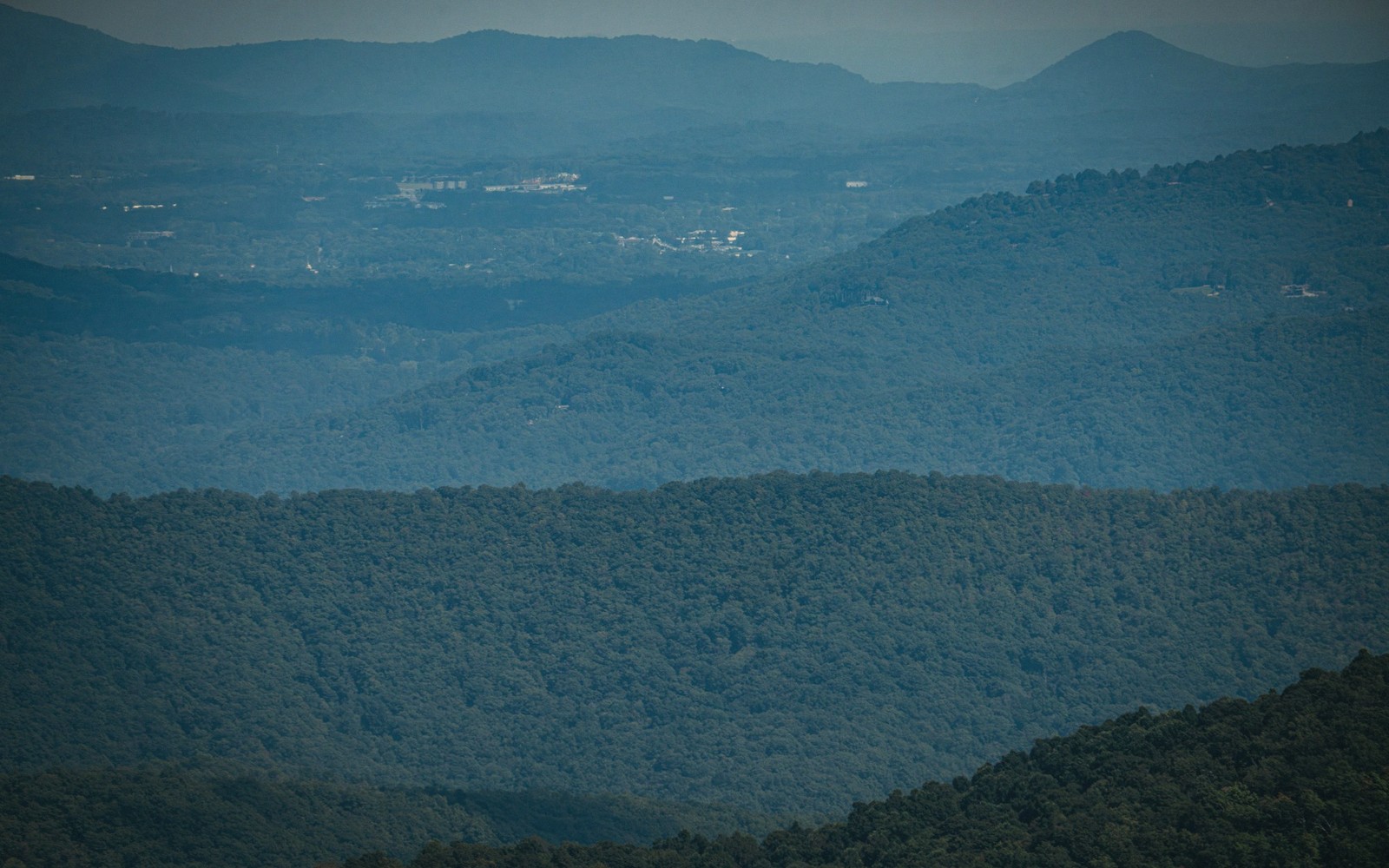
The Priest and Three Ridges Overlook. Farther south, where the Parkway runs above the watershed divide separating the upper Tye River drainage from the headwaters feeding toward Rockbridge, a series of overlooks looks east toward the Piedmont. The logic of stopping here is less about grand Valley panoramas and more about understanding the architecture of the Blue Ridge as a physical structure — here you can see how the mountain actually works, ridge behind ridge stepping down toward flatter ground. A clear day reveals the Virginia Piedmont stretching away toward Richmond, and the contrast with the Valley views from the opposite side of the road is instructive. If you have been driving from the west, this is the first moment the Parkway shows you what it was built to show motorists coming from the other direction.
Spy Rock Vicinity. The overlooks near the Spy Rock elevation are among the most exposed in this section of the Parkway, sitting on a long, open shoulder where the ridge is both high and relatively narrow. The effect is of being genuinely on top of something: views open in multiple directions with less tree interference than lower or more sheltered pull-offs. On a clear day the geometry of the Valley becomes legible — you can trace the course of the Maury River corridor, and the plateau of House Mountain west of Lexington is identifiable by its characteristic flat top rising above the town. This is one of the few Parkway pull-offs where the topographic reality below matches what a map promises. The orientation here also makes it exceptionally good in late afternoon, when the western light rakes across the Valley floor and the mountains west of the Valley throw long shadows.
Purgatory Mountain and the Flat Top Shoulder Overlooks. As the Parkway descends slightly in the section corresponding roughly to the southern end of Rockbridge County's ridge boundary, the overlooks along the Purgatory Mountain area offer something different in character: the views here are more intimate, lower, and the foreground is filled with the rolling, wooded mid-elevation terrain that connects the high ridge to the Valley settlements below. This is less the grand prospect and more the close-grained sense of how the mountain transitions into the agricultural landscape of Rockbridge. Glasgow sits in the notch where the James cuts through the ridge well to the south, and on exceptional days of low humidity you can trace the river gap. The overlooks here reward patience and a pair of binoculars more than a quick glance from the car window.
Apple Orchard Mountain. At roughly four thousand feet, Apple Orchard Mountain is the highest point on the Parkway north of North Carolina, and the overlooks near its summit are in a different meteorological category from the rest of this section. Cloud cover that reads as thin haze down in the Valley can be full overcast at this elevation, and the summit is occasionally in cloud when every other overlook on the ridge is clear. Time the stop accordingly — arrival in mid-morning after a clear overnight is reliably better than late afternoon when convective cloud builds. When it is clear, the westward views are strikingly wide; the height advantage over surrounding ridges is real, and the Valley floor is far enough below that you see it as geography rather than as landscape. The rock outcroppings near the crest have a rougher, more boreal character than overlooks lower on the ridge — the vegetation is stunted, wind-shaped, and the air has a quality that reads as genuinely alpine by mid-Atlantic standards.
| Blue Ridge Parkway | Apple Orchard Mountain |
|---|---|
| federally administered scenic motor road running the spine of the Blue Ridge from Shenandoah NP to Great Smoky Mountains NP | highest point on the Parkway in Virginia north of North Carolina, near Bedford County |
Worth knowingWhich direction a given overlook faces is probably the single most important variable.
03Reading the Conditions
Two practical realities govern how useful this shortlist is on any given day. The first is humidity. The Shenandoah Valley sits in a basin that collects and holds atmospheric moisture in summer, and on most July and August days a white haze sits at valley-floor level that obscures anything beyond twenty miles. The overlooks that face west are effectively blunted by this. The same overlooks in October, or on the sharp clear days that follow a frontal passage at any time of year, show far more of the valley. If you are planning a Parkway drive specifically for views, check the valley haze before you commit the afternoon.
The second reality is foliage timing. The Parkway runs at high elevation, and autumn color at the ridge crest typically precedes valley color by ten days to two weeks. A valley loop in peak fall that looks spectacular from the road below may find the Parkway overlooks already past their color peak, or vice versa. The best strategy is to drive the Parkway at the turn of color when the high elevation is at its best, and save the valley floor for the following week — the two windows rarely overlap precisely.
Neither of these variables is a reason to skip the Parkway. They are a reason to know what you are looking for, and to stop where the view actually repays stopping. The pull-offs listed here do that work consistently, in conditions that most visitors will actually encounter. The rest are pleasant enough. But pleasant enough and worth the brake are not the same thing.
Knowing which face an overlook shows you before you pull in saves the grinding anticlimax of stepping out to find a wall of second-growth timber.
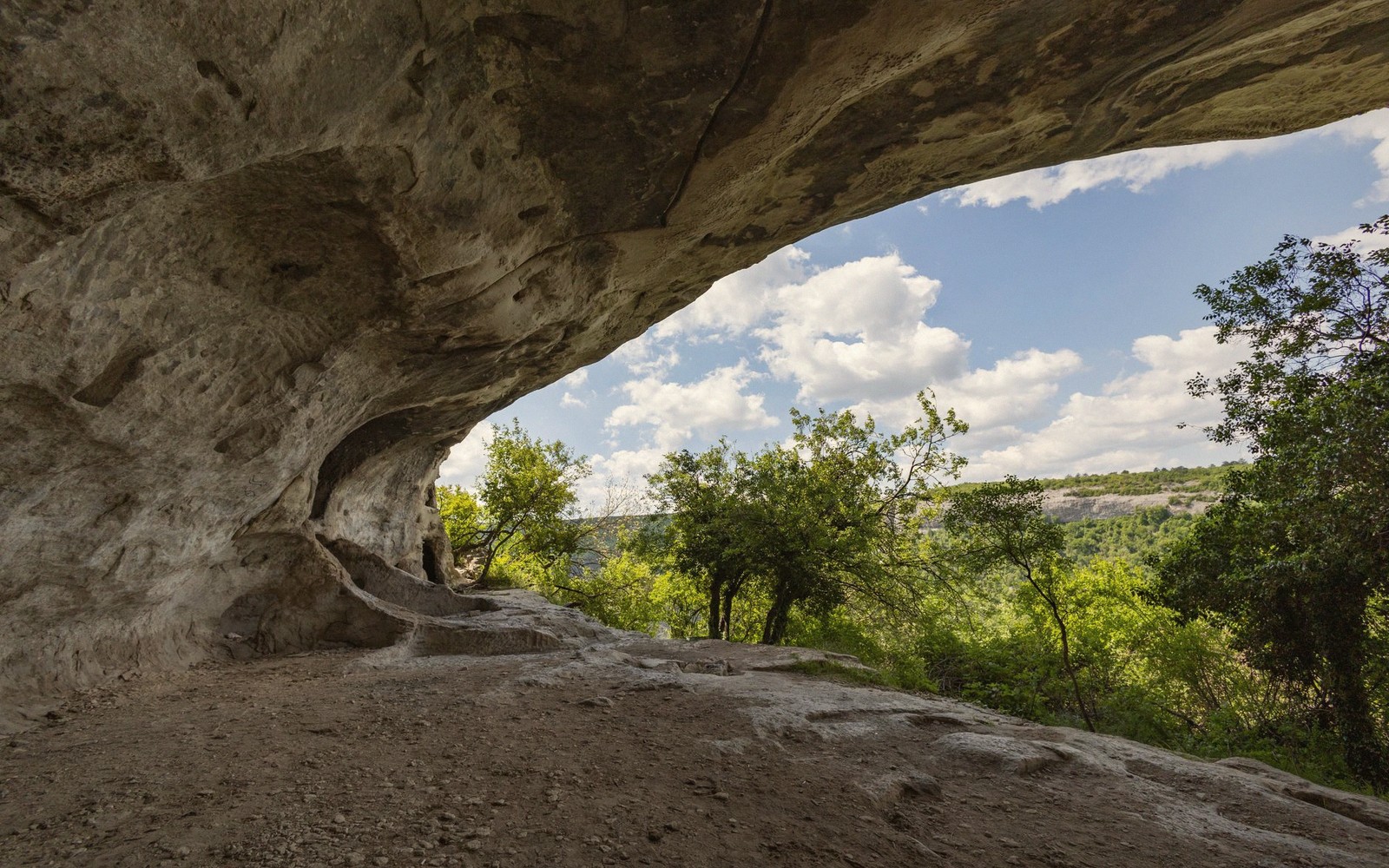
Humpback Rocks
Noted on this sheet
rock formation and visitor area near the Parkway's northern Virginia terminus
From the survey notes
House Mountain
Noted on this sheet
flat-topped ridge west of Lexington, identifiable from high Parkway overlooks
From the survey notes
Reeds Gap / Tye River
Noted on this sheet
common Rockbridge-area entry points to the Parkway from the Valley
From the survey notes