01The arch earns its reputation — but timing is everything
Natural Bridge is one of the oldest tourist destinations in North America. Thomas Jefferson purchased it in 1774 and called it one of the most sublime of nature's works. George Washington, by tradition, surveyed it. For the two and a half centuries since, visitors have arrived by horse, by rail, by car and by tour bus, and the arch has absorbed all of them without complaint. It is genuinely extraordinary — a 215-foot limestone span carrying a public road across Cedar Creek — and it will remain so whether you see it alone at dawn or wedged between a school group and a family of twelve. But the difference between those two experiences is enormous, and with a little planning, the first one is entirely achievable.
The park that surrounds the arch sits within Rockbridge County, a few miles south of Lexington on U.S. 11. The span itself is the product of a dissolving karst landscape — Cedar Creek found a cave, dissolved its roof over millions of years, and left the arch standing where the cave collapsed around it. What remains is a bridge of Ordovician limestone, roughly 90 feet long and 150 feet wide at the roadway, that looks improbable from every angle. If you want the geological backstory, it repays the time. The short version is that water did all of this, as it does most things in this valley.
02When to go, and where to stand
The parking lots at Natural Bridge State Park fill early on summer weekends and on fall-color weekends in October — typically the busiest weeks of the year. The remedy is simple: arrive at opening. In summer, the light is already working by seven in the morning, the air is cool by the valley's own humid standards, and the canyon trail below the bridge is quiet. By ten, things change. By noon on a weekend in October, they have changed considerably.
Lifted from the entryThe short version is that water did all of this, as it does most things in this valley.
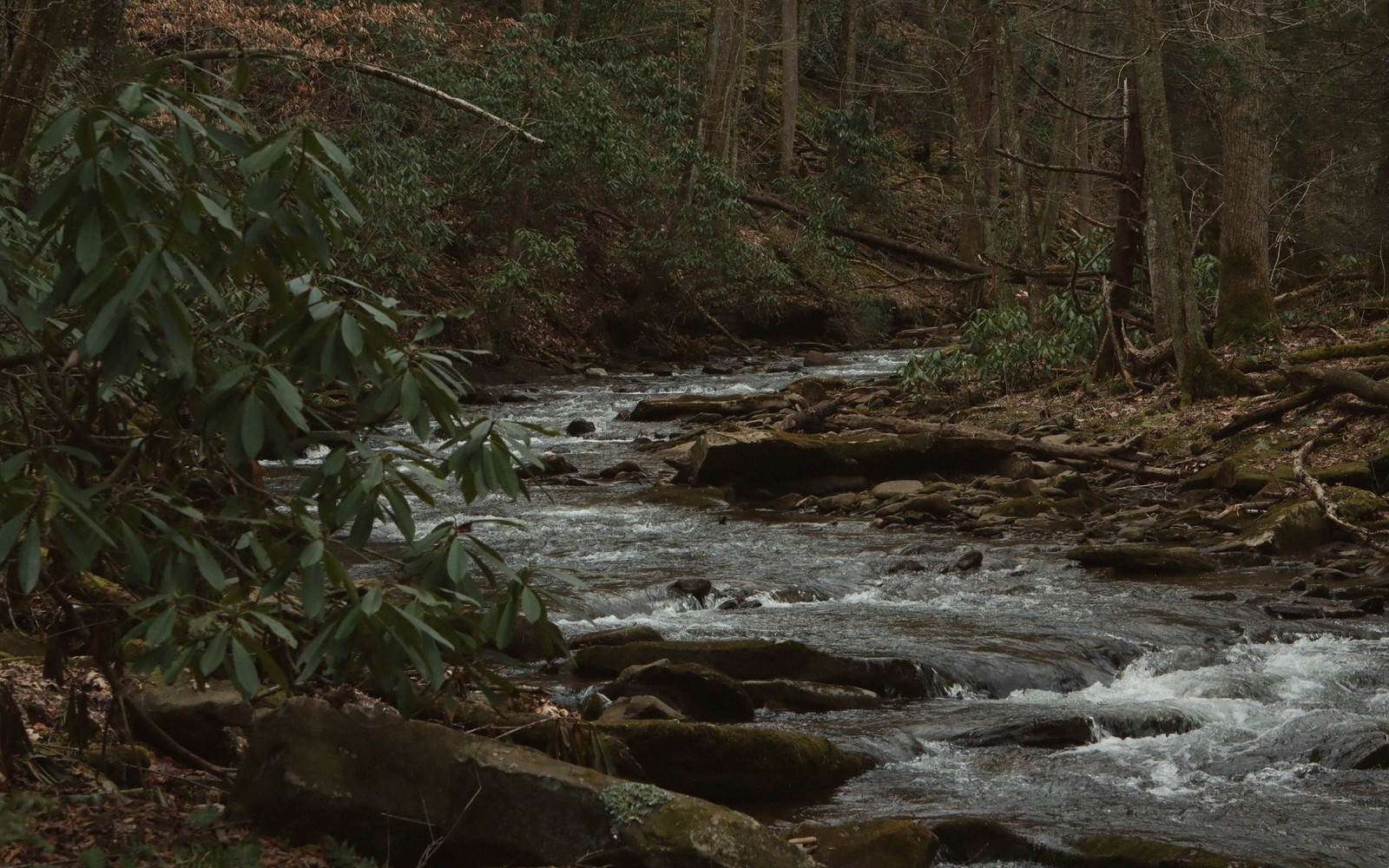
The path from the visitor center descends to Cedar Creek and follows it downstream to the base of the arch. This is the correct direction: you approach the bridge from below and to the north, and the full span opens above you as you round the last bend. That first view — the arch framed by the creek corridor, the limestone face catching whatever light the sky offers — is the one that has drawn painters and engravers here since the eighteenth century. It does not disappoint. Do not rush it. Stand in the creek bed and let the geometry settle. The arch is taller than it is wide, which surprises most people who have only seen photographs of it.
The north face, the one you see on approach, is the more dramatic. The south face — seen by turning around once you are beneath the arch — is quieter, more worn, more nakedly geological. Both reward attention. Between the two, the keystone of the bridge is threaded by a groove worn by the creek, and somewhere in the limestone above the road surface, the old survey marks made by Washington as a young surveyor are said to survive. Whether you can find them depends on your patience and the angle of the light.
The canyon trail continues downstream past the arch to a saltpeter cave used during the Civil War and, farther on, to Lace Falls, a tiered drop that is most impressive in late winter and early spring when the watershed is full. In summer, the falls run thinner but the canyon walls hold their green, and the trail stays shaded and cool when the valley above bakes. The full walk from the visitor center to the falls and back is easy for any able adult — the terrain is flat, the footing is good, and the total distance is modest.
| Term | What it means |
|---|---|
| karst | landscape formed by dissolving limestone, prone to caves, sinkholes and springs |
| saltpeter cave | cave mined for potassium nitrate, used in gunpowder manufacture |
| Ordovician | geological period roughly 443–485 million years ago; age of the local limestone |
In sequence
- 1774Thomas Jefferson purchases Natural Bridge
- Civil War erasaltpeter cave downstream mined for gunpowder production
- 2016Natural Bridge designated a Virginia State Park
03Light, season and the quieter windows
Morning light is the essential piece of the puzzle here. The arch faces roughly north, and its great limestone face catches the sun on a diagonal through much of the day — but the canyon is narrow, and direct light on the creek floor is fleeting. Early morning in summer gives you raking light on the south-facing cliff walls opposite the arch, which glow a warm buff and ochre before the sun climbs. In fall, the maple and tulip poplar in the canyon turn slowly and drop late, and the leaves floating down Cedar Creek in October are their own spectacle, separate from the arch itself.
Winter is the genuinely underappreciated season. Crowds thin to almost nothing between late November and mid-March. The hardwood canopy is gone, which opens the view and lets you see the full limestone faces that leafy summer conceals. On clear cold mornings the canyon is still and very quiet, and the arch shows its full geological character without ornament. If there has been ice, the walls streak with mineral seeps that freeze into curtains. It is worth driving down for.
Spring is transitional and variable. The falls run hard after snowmelt, the redbud blooms along the canyon walls in April, and the trout fishing in Cedar Creek below the park draws its own quiet constituency. Early spring mornings before the season gets going are another reliable low-crowd window — the calendar has not yet flipped to vacation mode, but the valley is already green and the air smells of cold water and new growth.
Weekdays outperform weekends by a significant margin regardless of season. If your itinerary allows a Tuesday rather than a Saturday, take it. The difference is not marginal.
The parking lots at Natural Bridge State Park fill early on summer weekends and on fall-color weekends in October — typically the busiest weeks of the year.
| Natural Bridge | Cedar Creek |
|---|---|
| 215-foot limestone arch in Rockbridge County, now a Virginia State Park | stream flowing beneath the arch, agent of its geological formation |
Worth knowingWhat remains is a bridge of Ordovician limestone, roughly 90 feet long and 150 feet wide at the roadway, that looks improbable from every angle.
04What the arch is part of
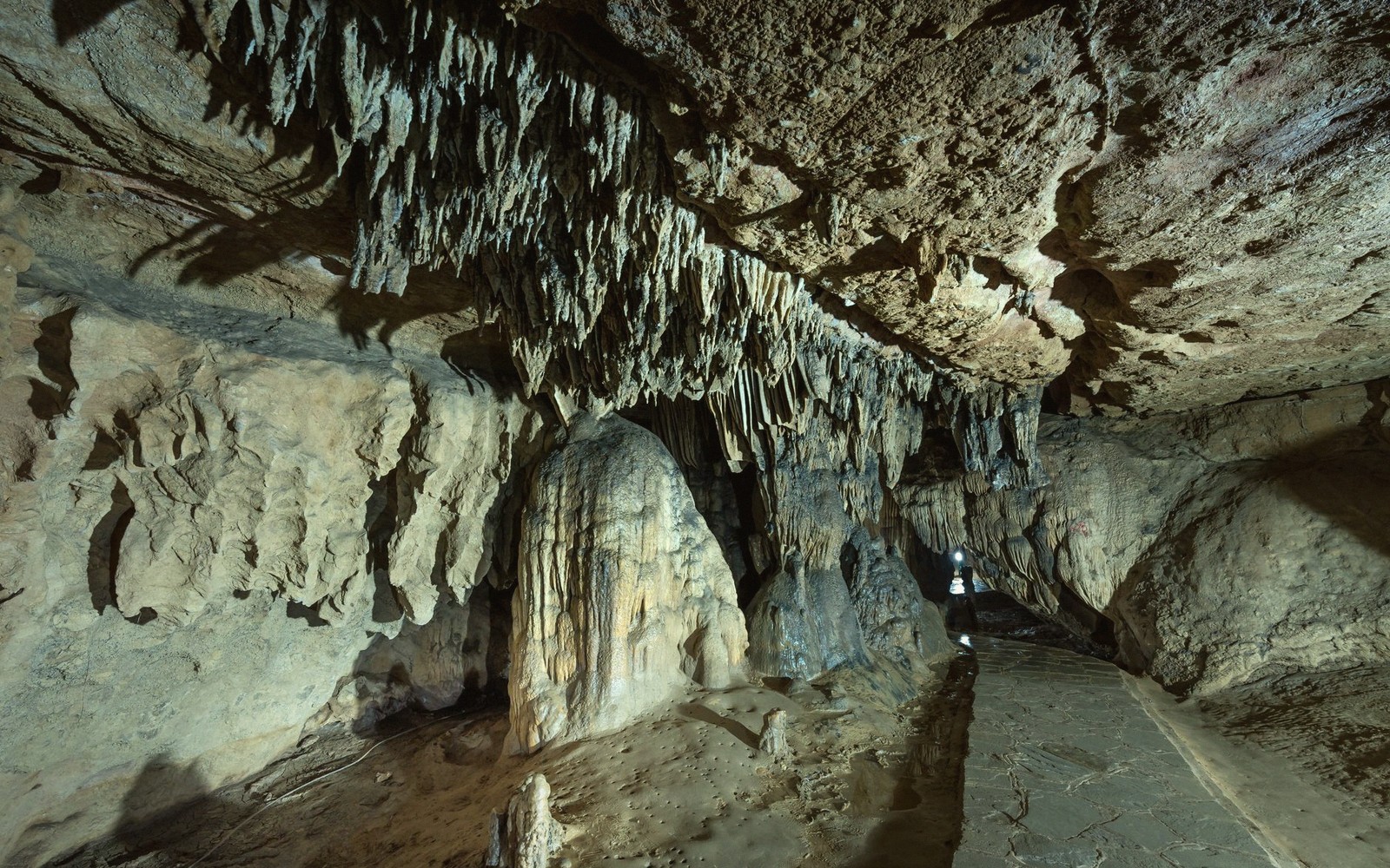
Natural Bridge does not stand in isolation. The park encompasses the surrounding forest and the creek corridor, and the wider landscape around it is one of the most scenically dense corridors in the county. The Blue Ridge rises to the east, the Maury River runs a few miles north, and the karst topography that produced the arch continues in all directions underfoot — springs, sinkholes, and the great cave systems that honeycomb this part of the Valley. The arch is the most visible evidence of a landscape process that has been running here for hundreds of millions of years.
That framing matters, because it changes how the arch feels. It is not a curiosity dropped onto an otherwise ordinary piece of ground. It is the high point of a region-wide geological story — the most legible single feature in a landscape that has been dissolving, collapsing and reforming since before the Blue Ridge existed in its present form. Arriving with that awareness does not diminish the arch's spectacle. It deepens it. And standing beneath 215 feet of limestone at seven in the morning, with Cedar Creek running over your boots and no one else within earshot, is about as good as this county gets.
Lace Falls
Noted on this sheet
tiered waterfall downstream from the arch on the Cedar Creek trail
From the survey notes
Thomas Jefferson
Noted on this sheet
purchased Natural Bridge in 1774; described it as sublime
From the survey notes