01The Ridge Has More Than One Face
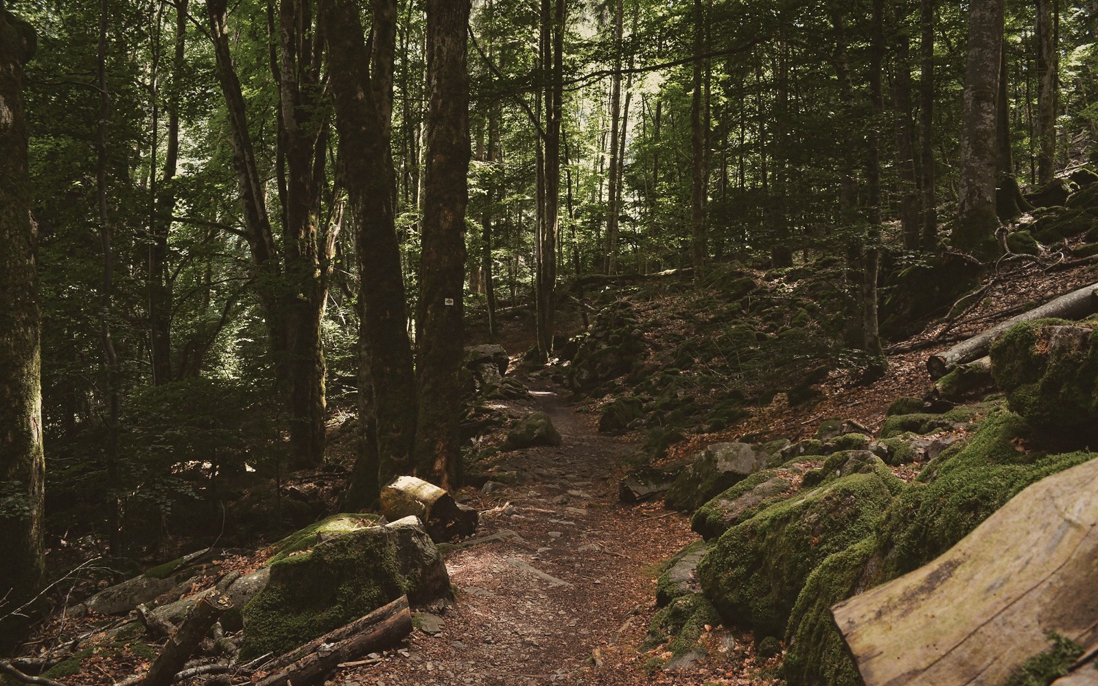
The Blue Ridge through Rockbridge County is not a single experience. From the valley floor it reads as one continuous wall — a dark treeline riding the horizon west and south — but step onto it and the terrain fragments: boulder fields, hardwood hollows, open ledges, long grassy crests. The three walks below are not a comprehensive survey. They are the ones that deliver most reliably: distinct from one another, genuinely rewarding at their own scale, and honest about what they ask.

02Short: Devils Marbleyard
The approach is modest — a gravel road, a straightforward trail through second-growth forest — and then the boulder field opens and everything changes. Devils Marbleyard is a chaos of quartzite blocks, pale and angular, spilled down a south-facing slope of Belfast Mountain in the James River Face Wilderness. The individual stones are enormous; the field as a whole covers something in the neighborhood of several acres. Nothing about standing inside it feels ordinary.
Lifted from the entryThe individual stones are enormous; the field as a whole covers something in the neighborhood of several acres.
The quartzite here is among the oldest rock exposed in Virginia, metamorphosed from ancient sandstone under pressures that are difficult to hold in the mind. The boulders did not fall so much as they were left: the surrounding softer material weathered away over vast stretches of time, leaving the resistant quartzite in place. The result is less a rockslide than an exhumation.
The walking on the boulders themselves requires attention — the footing is genuinely uneven, and wet rock demands respect — but the payoff at the upper edge of the field is an open view south and west toward the James River corridor that you cannot find anywhere else in the county at this elevation and effort level. This is the shortest walk of the three, and it is not easy, but it is compact: the commitment is modest, the spectacle is not.
| Term | What it means |
|---|---|
| quartzite | hard metamorphic rock formed from sandstone under heat and pressure |
| James River Face Wilderness | federally designated wilderness area along the James River corridor |
| aspect | the compass direction a slope faces, affecting vegetation and exposure |
| Devils Marbleyard | Belfast Mountain |
|---|---|
| boulder field on Belfast Mountain, James River Face Wilderness, Rockbridge County | ridge in the James River Face Wilderness containing Devils Marbleyard |
03Medium: The Appalachian Trail Ridgeline Sections
Where the Appalachian Trail passes through Rockbridge County, it rides the Blue Ridge proper — not the approaches, not the hollows, but the spine. A day section here trades the scramble of Devils Marbleyard for sustained ridge walking: canopy close overhead in summer, long sightlines in winter and early spring, and the particular pleasure of a trail that has been walked continuously for decades and shows it in the best way. The tread is clear, the route is sure, and the ridge itself does the work.
The character shifts along the crest depending on aspect and elevation. East-facing slopes open toward the Piedmont; west-facing edges drop steeply back toward the Valley. On a clear day in either direction the distances are startling — the ridge is high enough that the valley below looks agricultural and orderly, the far mountains stacked in blue layers that deepen toward the horizon. The trail's mid-length options suit a visitor with half a day and no desire to either rush or overcommit. Carry water; springs are real but not always reliable.
Worth knowingDevils Marbleyard is a chaos of quartzite blocks, pale and angular, spilled down a south-facing slope of Belfast Mountain in the James River Face Wilderness.
04Long: House Mountain
House Mountain is not part of the Blue Ridge proper — it sits isolated west of Lexington, a detached flat-topped ridge that the Maury River bends around on three sides — but it earns its place here because it delivers what the longer ridge experience promises: genuine elevation change, two distinct summit ledges with opposing views, and the sense of having actually climbed something.
The ascent is steep and direct. There is no meandering switchback approach that softens the first half mile; the trail goes up, and it stays up, through mixed hardwood forest that opens gradually as the canopy thins near the crest. The west peak and east peak offer fundamentally different panoramas — one looking toward the Allegheny highlands and the upper Maury drainage, one looking back over Lexington and south toward the Blue Ridge wall itself, which from this angle reads not as a barrier but as a long, settled presence at the edge of the valley.
The flat summit ridge between the two peaks is worth the extra walking. It is a distinctive landform — unusual in the Valley — and the open ledge views, where the tree cover breaks, are among the better vistas available from any trail in Rockbridge County without driving the Parkway. Allow three to four hours round trip and do not shortchange the descent, which earns its own attention in autumn when the leaf litter is deep and the footing wants care.
These three trails are genuinely different from one another — in terrain, in length, in what they require and what they return. Together they cover the county's ridge character about as well as three walks can.
House Mountain
Noted on this sheet
isolated flat-topped ridge west of Lexington, in the Maury River bend
From the survey notes
James River Face Wilderness
Noted on this sheet
designated wilderness on the Blue Ridge escarpment above the James River corridor
From the survey notes