01Reading the County Off the Main Drag
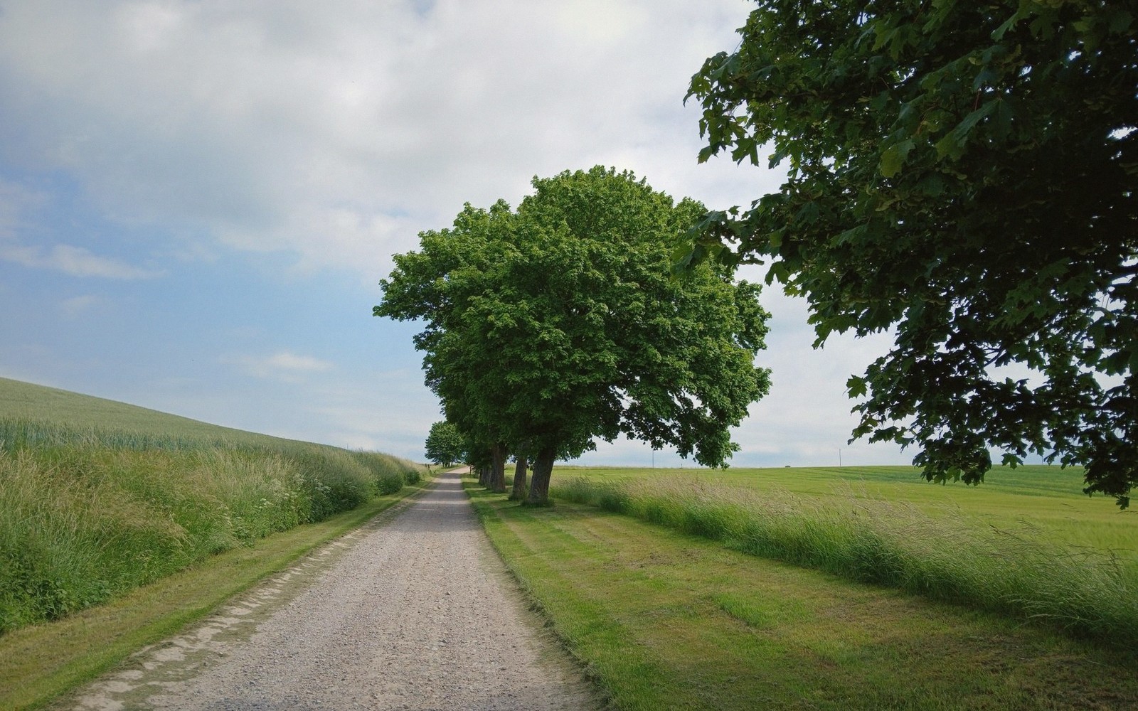
U.S. 11 and Interstate 81 carry most of what passes through Rockbridge County, and for good reason: they are direct, signed and predictable. But the county is deep, and predictable roads tell you little about it. The terrain here — limestone valley floors, abrupt sandstone ridges, river gaps carved over millennia — tends to reveal itself laterally, on the roads that cross it rather than run along it.
The back roads are not a secret, exactly. They appear on state highway maps. They just rarely appear on anyone's plan.
A note before you commit: some of these routes are paved county roads that happen to feel remote; others pass through gravel-surfaced stretches that require patience rather than a high-clearance vehicle. In dry seasons both types reward even a modest sedan. After hard rain or in winter, assess conditions before you turn off the main road. None of these is a loop — each is a spur that demands you think about where you are going rather than simply where you expect to arrive.

02Three Directions Worth Taking Slowly
Toward Goshen Pass from the north. Most visitors approach Goshen Pass from Lexington on Route 39 heading west — the logical direction if the gorge itself is the destination. Coming from Millboro Springs to the north, however, the landscape opens differently. The road drops into the Maury River drainage through Bratton's Run and follows a series of small farms tucked against the ridge before the gorge announces itself. It is a longer approach, and the county road surface becomes rough in places, but the way the ridge closes around you from the north is unlike anything the western approach offers. Plan for the transit to take considerably longer than a map suggests.
Lifted from the entryMost visitors approach Goshen Pass from Lexington on Route 39 heading west — the logical direction if the gorge itself is the destination.
The Borden Grant roads west of Lexington. The old Borden Grant covered a large swath of the county's interior, and the farm roads that cross it have not been in any hurry to straighten themselves since the colonial era. West of Lexington, several county routes cut through the valley between the Allegheny foothills and the North Mountain ridge. The topography is gently folded and wooded in the hollows; on the high points, views open toward House Mountain's flat-topped silhouette to the northeast and the unbroken wall of North Mountain to the west. Traffic is sparse enough that you can stop on the road shoulder without inconvenience. The roads eventually connect back to Route 251 or Route 39 depending on which fork you take — but taking a wrong fork here is not a disaster. It merely extends the drive.
The river bottom road toward Glasgow. Where the Maury drops south toward Glasgow and its confluence with the James, the valley floor narrows and the road follows the water closely enough that you lose any sense of the wider landscape. The Blue Ridge rises ahead of you to the east in a way that reads entirely differently from here than it does on the parkway above. Glasgow itself sits at the convergence of two rivers and two ridgelines, which gives it a peculiar geographic intensity for a town its size. The road into town from the north — through the lower Maury corridor — is the best way to feel that compression before you arrive at the water.
| Goshen Pass | Glasgow |
|---|---|
| gorge where Route 39 follows the Maury River through the mountains | small town at the confluence of the Maury and James rivers |
Worth knowingNone of these is a loop — each is a spur that demands you think about where you are going rather than simply where you expect to arrive.
03What the Back Roads Actually Tell You
Driving these routes slowly — and slowly is the operative word; they are not built for speed — you begin to read the county's structure in a way that no overlook fully communicates. The karst topography shows itself in unexpected sinkholes in otherwise flat pastures. Seasonal springs cross the road in places that feel arbitrary until you understand the rock beneath. Old homesite chimneys stand in fields where the houses long ago fell.
The road surfaces themselves are informative: chip-seal that thins toward gravel, gravel that thins toward dirt, dirt that suggests you've gone far enough and should turn back. In a place where the underlying geology has been dissolving for hundreds of millions of years, even the road surface is temporary.
None of these drives is the reason to come to Rockbridge County. Natural Bridge, the caverns, Goshen Pass, the Appalachian Trail corridor along the Blue Ridge — those are the reasons. But after a day spent at those destinations, an hour on a county road with no particular agenda tends to reframe everything you saw. The valley is large, the farms are real, the ridges are indifferent to itineraries. The back roads simply make that legible in a way the main roads cannot.
Bring a physical map. Phone signal in the hollows is unreliable in the best conditions, and the gaps between ridges are not the best conditions.
House Mountain
Noted on this sheet
flat-topped ridge northwest of Lexington
From the survey notes
North Mountain
Noted on this sheet
ridge forming the county's western wall
From the survey notes
Bratton's Run
Noted on this sheet
small drainage on the northern approach to Goshen Pass
From the survey notes