01The Shape of the Thing
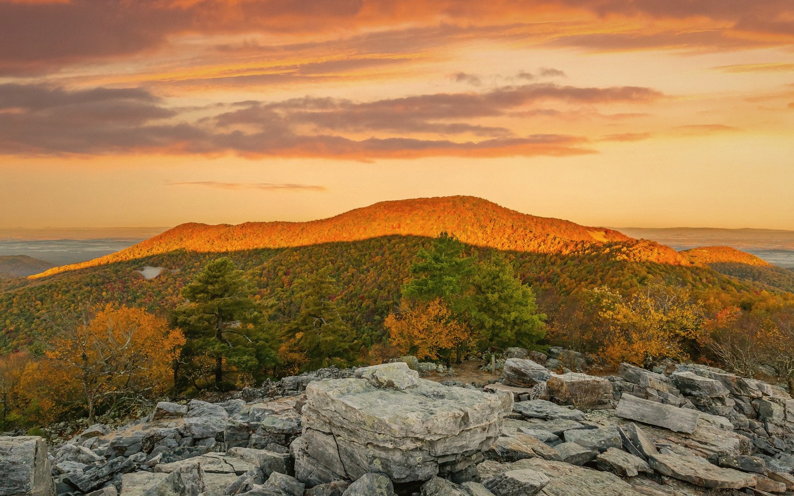
House Mountain sits due west of Lexington, a long, level-topped ridge that reads unmistakably from town as a kind of local landmark: flat on the crown, steep on both flanks, wide enough that it blocks the western sky rather than punctuating it. The profile is what geologists would call a resistant caprock formation — the hard sandstone summit layer sheds erosion slowly while the softer rock below gives way, producing that characteristic table shape. From the right angle on Main Street or the VMI parade ground, the silhouette is simply part of the background, easy to take for granted. Walk to the top once and you will not take it for granted again.
The mountain rises to just under three thousand feet. That is not a dramatic number on a map, but Rockbridge County's valley floor sits considerably lower, so the vertical gain from the trailhead is genuine — somewhere in the neighborhood of a thousand feet by most accounts, compressed into a route that does not waste distance being polite about it. Both established trails to the summit are short. Neither is easy.

02Two Trails, One Summit
The eastern and western approaches to House Mountain are different animals. The eastern trail climbs the steeper face — the one visible from Lexington — and it earns its reputation. The path gains elevation quickly, working through mixed hardwood forest of oak and hickory before the canopy opens and the sandstone outcrops begin to assert themselves. The footing is rough in places, loose in others, and the grade is enough to make conversation optional. Budget an hour of focused walking from the trailhead to the ridge proper.
Lifted from the entryThe path gains elevation quickly, working through mixed hardwood forest of oak and hickory before the canopy opens and the sandstone outcrops begin to assert themselves.
The western approach is marginally less severe in pitch but no less earnest. It comes at the summit plateau from the back side, climbing through a longer wooded stretch before delivering the same reward: the flat, boulder-scattered top with its panorama in both directions.
Once on the summit ridge, the two trails connect, and a short walk between the eastern and western high points — sometimes called the East Knob and West Knob, though local usage varies — takes in views that span the whole valley. To the east, the Blue Ridge runs in its long, blue-green wall. To the west, Allegheny ridges stack up into West Virginia. Below, the Maury River cuts its way through the valley floor and Lexington sits compact and legible, the white of the VMI barracks easy to pick out. The views from House Mountain are not a postcard angle — they are a working landscape seen whole, which is more useful and more interesting.
| House Mountain | Lexington |
|---|---|
| flat-topped sandstone ridge west of Lexington, Rockbridge County | nearest town, visible in full from the summit |
Worth knowingThe eastern trail climbs the steeper face — the one visible from Lexington — and it earns its reputation.
03Practical Character
The summit plateau is a place to linger. The caprock outcrops make natural seats, the canopy breaks enough to let the sky in, and the wind, when it comes, comes from the west with room to accelerate. On clear autumn days after a cold front has scrubbed the air, the visibility stretches far enough that naming individual ridges becomes a guessing game worth playing.
The trails are unimproved in the best sense: marked but not manicured. There are no guardrails at the overlooks, no boardwalks, no interpretive panels. The mountain is managed as part of a natural area, and the management is largely benign neglect. Bring water, wear boots with ankle support, and know that in wet weather the clay on the lower slopes earns its slippery reputation.
Spring and fall are the prime seasons. In spring, the wildflowers move uphill through April into May and the canopy has not yet closed — the light filters in and the views from the flanks are open. Fall is the obvious choice for color: the oaks hold their russet well into November, the summit air is cool, and the valley below takes on that particular late-season clarity. Summer is hot on the exposed rock and humid in the forest; not impossible, but not the mountain's best presentation. In winter, ice on the upper sandstone makes the eastern approach genuinely technical without crampons.
House Mountain is the kind of place that Lexington residents climb once on a visitor's recommendation and then find themselves returning to — because it is close, because the effort is honest, and because the view from the top makes the town below look exactly the right size.
VMI (Virginia Military Institute)
Noted on this sheet
Lexington institution; white barracks visible from summit
From the survey notes
Maury River
Noted on this sheet
river visible from summit, flowing through the valley floor
From the survey notes
Blue Ridge
Noted on this sheet
eastern ridgeline visible from summit panorama
From the survey notes