01Why They Were Built That Way
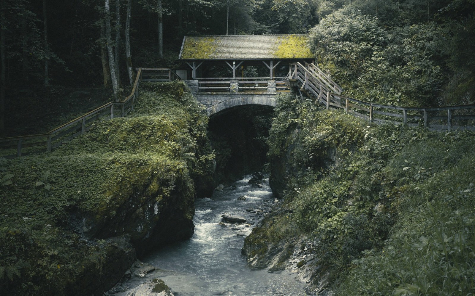
A covered bridge is not a romantic gesture. It is a maintenance decision. An uncovered timber bridge, exposed to the cycling wet and dry of a Virginia valley, might last a decade. Enclose the same structure — protect the load-bearing truss from direct rain — and it can stand for well over a century. The roof and siding are weather armor for the structural timbers beneath; the roadbed and the truss do the engineering work, and the cladding simply keeps the rain off them. That is the whole logic, stated plainly.
The Shenandoah Valley and its flanking ridges were once well supplied with these structures. Every significant ford or ferry crossing along the Maury, the James and their tributaries was a candidate. Timber was abundant, skilled millwrights were local, and the valley's agricultural economy demanded reliable crossing points through every season, including the muddy, flood-prone ones. The bridges came in several truss configurations — the Town lattice, the Burr arch, the Howe truss — each a different answer to the problem of spanning moving water with wood.
02What Survives
The honest count is a short one. Most of the covered bridges in this region are gone — lost to floods, fires, highway modernization or simple neglect. The Shenandoah Valley lost the majority of its stock over the course of the twentieth century as concrete and steel replaced timber for any crossing carrying real traffic.
Lifted from the entryTimber was abundant, skilled millwrights were local, and the valley's agricultural economy demanded reliable crossing points through every season, including the muddy, flood-prone ones.
What does survive in the Valley sits in its northern reaches, where two structures remained lightly used enough to escape demolition: the Meems Bottom bridge over the North Fork of the Shenandoah near Mount Jackson in Shenandoah County, and the privately owned Biedler Farm bridge over Smith Creek near Broadway in Rockingham County. Rockbridge County itself, heavily agricultural and threaded with secondary roads into the nineteenth century, once had its share of covered crossings. The county's rivers — the Maury running west to east through the heart of the county, the James forming its southern boundary — made the engineering logic compelling, but also made the structures vulnerable to every significant flood.
Travelers passing through on the back roads occasionally encounter remnants of the covered-bridge era in unexpected corners: stone abutments marooned in a streambed, a datestone from a mill race that once anchored a companion bridge. These traces reward the attentive driver. They are not signposted and they require no admission; they simply sit in the landscape as punctuation.
| Term | What it means |
|---|---|
| Town lattice | truss style using diagonal lattice planks rather than heavy principal members |
| Burr arch | combined multiple kingpost truss with a long timber arch for extra stiffness |
| Howe truss | truss using diagonal wooden compression members and vertical iron tension rods |
| Truss | structural framework using triangles to distribute load efficiently |
| Maury River | James River |
|---|---|
| principal river running west to east through Rockbridge County | forms the southern boundary of Rockbridge County |
Worth knowingEvery significant ford or ferry crossing along the Maury, the James and their tributaries was a candidate.
03Reading the Structure When You Find One
If you do reach a surviving example, resist the temptation to rush through. Stand outside first, on the downstream side if you can, and look at the geometry of the truss. The lattice or X-pattern visible through the siding openings is the structure doing its work — tension and compression distributed across dozens of intersecting members, none of them particularly large, each one manageable by a small crew with period tools. The portals, though often decorated with simple chamfering or a date stone, are functional: wide and tall enough for a loaded hay wagon, no more. The interior is dark because windows were a concession to lighting, not to views.
The smell — seasoned timber, old wood, occasionally the mineral damp of a nearby creek — is harder to describe than the geometry, but equally worth noticing. It is the smell of the nineteenth-century working landscape, preserved not by sentiment but by a roof that kept the rain out long enough for the wood to outlast everything around it.
Rockingham County, Shenandoah County
Noted on this sheet
valley counties north of Rockbridge retaining more covered-bridge survivors
From the survey notes