01What the Rivers Are Doing
Rockbridge County is drained by two rivers that behave quite differently and eventually find each other. The Maury runs west to east through the heart of the county, gathering speed through Goshen Pass before flattening into pastoral meanders past Lexington and Buena Vista. The James arrives from the west and bends eastward through Glasgow, where the Maury delivers its entire load into it. Together they read the seasons more honestly than any almanac.
The baseline variable is turbidity — simply, how much sediment the water is carrying. A clear river and a cloudy one are two different environments, and the shift between them can happen overnight. Rain on the Blue Ridge drains fast into the Maury's headwaters around Goshen; a significant storm upstream can brown out the lower river within hours. The James, fed by a much larger watershed, buffers more slowly but also recovers more slowly. Understanding this rhythm determines whether you're paddling in visibility or through chocolate soup, whether the fish are feeding actively or hunkered down, whether a crossing is casual or genuinely dangerous.

| Term | What it means |
|---|---|
| turbidity | measure of water cloudiness caused by suspended sediment |
| karst aquifer | underground water system through soluble limestone rock |
| hydraulic | river feature where recirculating current traps objects underwater |
| eddy | calm pocket of water behind an obstacle in moving current |
| gradient | rate of elevation drop along a river's course |
02Season by Season
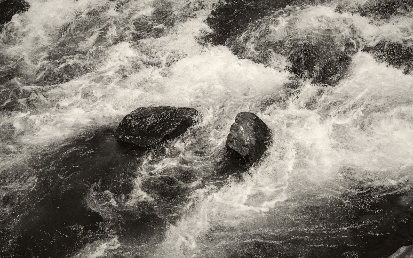
Winter and early spring is when the rivers run boldest. Snowmelt from the Allegheny highlands and the upper Blue Ridge combines with February and March rain to push both rivers toward their seasonal peaks. The Maury through Goshen Pass can rise dramatically — the pools that look swimmable in August become hydraulic and fast, and the boulders that make the pass so scenic wear white collars of churning water. This is the season for watching rather than wading. The James at Glasgow runs wide and purposeful, pushing against its banks with a brown-green authority that commands respect.
Lifted from the entryRain on the Blue Ridge drains fast into the Maury's headwaters around Goshen; a significant storm upstream can brown out the lower river within hours.
The counterintuitive truth about high water is its clarity of form: the river reveals itself most fully when it's biggest. Eddies and seams that are invisible at low flow become readable geography. The gradient shows. Anyone who wants to understand how a river actually works should see the Maury in late February at least once.
Late spring brings the transition. Flows begin to drop, and as they do, the water clears. By mid-spring, after a stretch of dry weather, the Maury runs a cold blue-green over its limestone bed — the clearest water most flatland visitors have seen outside a swimming pool. Limestone geology scrubs the water as it moves through the karst aquifer, and what emerges in springs and seeps along the riverbank is already filtered. A dry April can produce almost gin-clear conditions weeks earlier than most people expect.
This is when the river rewards close attention. With visibility into the water column restored, you can read bottom structure, spot where trout hold in the current, and watch crayfish pick their way between rocks. Wildflowers at the water's edge — along the Maury corridor especially — coincide with these clearing conditions, which makes a morning on the river in late spring the most complete sensory experience the county offers.
Summer brings low water and warm water — the two conditions that most limit the rivers' vitality. The Maury shallows considerably in July and August; what were thigh-deep runs become ankle crossings, and the deeper pools concentrate fish, turtles and anything else that needs cool water. Afternoon thunderstorms can spike water levels briefly and dramatically, then drop them again within a day. The James runs low and slow at Glasgow, and the confluence — usually a turbulent meeting of two moving bodies — quiets into something almost still.
Low water is the season for intimacy with the river rather than movement on it. The ledges and shelf rock that high water covers become accessible. Flat sandstone slabs sun-warm by midday. The river is at its most approachable and least powerful.
Autumn is the sweet spot. Flows typically stabilize after summer's lows but before the first serious rains of November. Air temperatures drop before water temperatures do, so the river remains swimmable into October while the woods above it turn. Leaves down on the water create their own brief spectacle — a float of red and yellow riding the current through Goshen Pass or across the flatwater below Lexington is not something you'll find easily elsewhere on the East Coast. Rain returns in earnest by late autumn, and the cycle begins again.
The practical read: if clarity matters to you, come after a dry stretch in spring or fall. If you want to see the river at full force, February and March are when it earns its character. The rivers of Rockbridge County are worth watching in every season — but they are not the same river twice.
| Maury River | James River |
|---|---|
| river running west to east through central Rockbridge County | larger river swinging through Glasgow in the county's east |
Worth knowingA clear river and a cloudy one are two different environments, and the shift between them can happen overnight.
Goshen Pass
Noted on this sheet
gorge carrying the upper Maury, notably dramatic at high water
From the survey notes
Glasgow
Noted on this sheet
town at the Maury-James confluence at the county's eastern edge
From the survey notes
Blue Ridge
Noted on this sheet
mountain ridge forming the county's eastern watershed divide
From the survey notes