01Limestone Underground
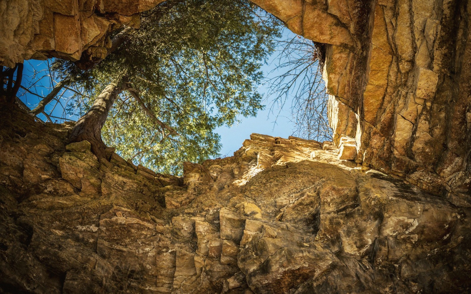
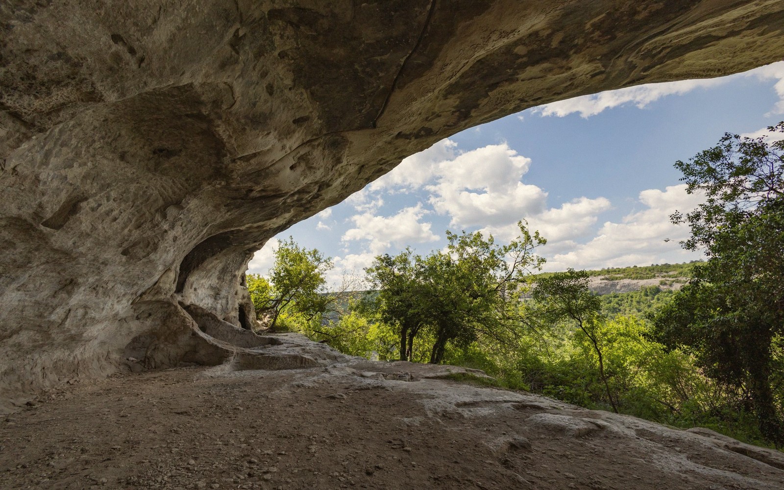
The Shenandoah Valley sits on a foundation of soluble rock, and water has been exploiting that fact for tens of millions of years. What you are standing on when you walk the Valley floor is limestone and dolomite — carbonate rocks laid down in ancient shallow seas, then folded and uplifted into the ridge-and-valley landscape you see today. Rain, slightly acidified by carbon dioxide absorbed from the air and soil, percolates downward and quietly dissolves the rock along joints and bedding planes. Given enough time, those fissures widen into passages, passages into chambers, chambers into the cave systems that honeycomb the ground across Rockbridge County and its neighbors.
The technical term for this terrain is karst — from a limestone plateau in Slovenia where geologists first catalogued its features systematically — and once you know what to look for, you begin to see it everywhere in this valley.
| Term | What it means |
|---|---|
| karst | landscape shaped by dissolution of soluble rock, typically limestone |
| sinkhole | surface depression formed by subsurface dissolution or collapse |
| swallet | point where a surface stream disappears underground |
| dolomite | carbonate rock similar to limestone, also soluble over time |
| chalybeate | mineral spring water containing iron salts |
| hachure marks | short lines on a map indicating a closed depression |
02What to Look For on the Surface
The most common surface expression of karst is the sinkhole: a bowl-shaped depression where the ceiling of a dissolved cavity has collapsed, or where sediment has slowly washed downward into an underground void. Rockbridge County farmland is stippled with them. From a car window they read as gentle dimples in a pasture; on a topographic map they appear as closed contour rings with hachure marks pointing inward. A field that looks perfectly flat will reveal, on closer inspection, a dozen subtle depressions that drain inward rather than outward toward a stream.
Lifted from the entrySeveral of the Maury River's tributaries are spring-fed, running clear and cold even through summer drought.
Springs are the other signature. Where the water table intersects the valley floor — or where an impermeable layer forces groundwater back to the surface — springs emerge with a constancy that surface streams cannot match. Several of the Maury River's tributaries are spring-fed, running clear and cold even through summer drought. The village of Rockbridge Baths takes its name from the chalybeate springs that once made it a destination; the springs themselves are still there.
Then there are the caves. The caverns of the northern Shenandoah Valley are the commercial face of what is, underground, an extensive and still-being-mapped network. Natural Bridge itself is the remnant of a cave roof — a stream dissolved a passage through the limestone, the roof mostly fell away, and what remained is the arch that still carries a road across its top. You can read more about the mechanics of that formation in close detail; for now, the point is that the arch is not an anomaly. It is simply the most visible piece of a system operating invisibly across the entire landscape.
| Rockbridge County | Rockbridge Baths |
|---|---|
| county in the Shenandoah Valley, Virginia; primary subject area | small community in Rockbridge County named for its iron-rich springs |
Worth knowingA field that looks perfectly flat will reveal, on closer inspection, a dozen subtle depressions that drain inward rather than outward toward a stream.
03What It Means Underfoot
Karst terrain carries a few practical implications worth holding in mind. Groundwater moves through it quickly and without the filtration that soil and gravel provide — a pollutant entering a sinkhole can emerge in a spring some distance away faster than intuition suggests. The land surface is also genuinely unpredictable in places; a depression that looks stable may overlie a void.
For the visitor, the more immediate implication is orientation. Standard surface hydrology — rain falls, runs downhill, collects in streams — describes only part of what is happening. In karst country, a stream can disappear into the ground entirely at a swallet hole and reappear half a mile away. Dry valleys, once carved by surface water that has since gone underground, sit in the landscape as puzzling flat corridors with no obvious drainage. The ground is an architecture as much as the ridge above it, just harder to see. That invisibility is most of the point: the most consequential geology in the Shenandoah Valley is the kind you walk across without knowing it is there.
Maury River
Noted on this sheet
main river through Rockbridge County, partly spring-fed
From the survey notes
Natural Bridge
Noted on this sheet
limestone arch in Rockbridge County; remnant of a dissolved cave roof
From the survey notes
Slovenia
Noted on this sheet
European origin of the term "karst" as a geological label
From the survey notes