01A Ridge You Can Sample
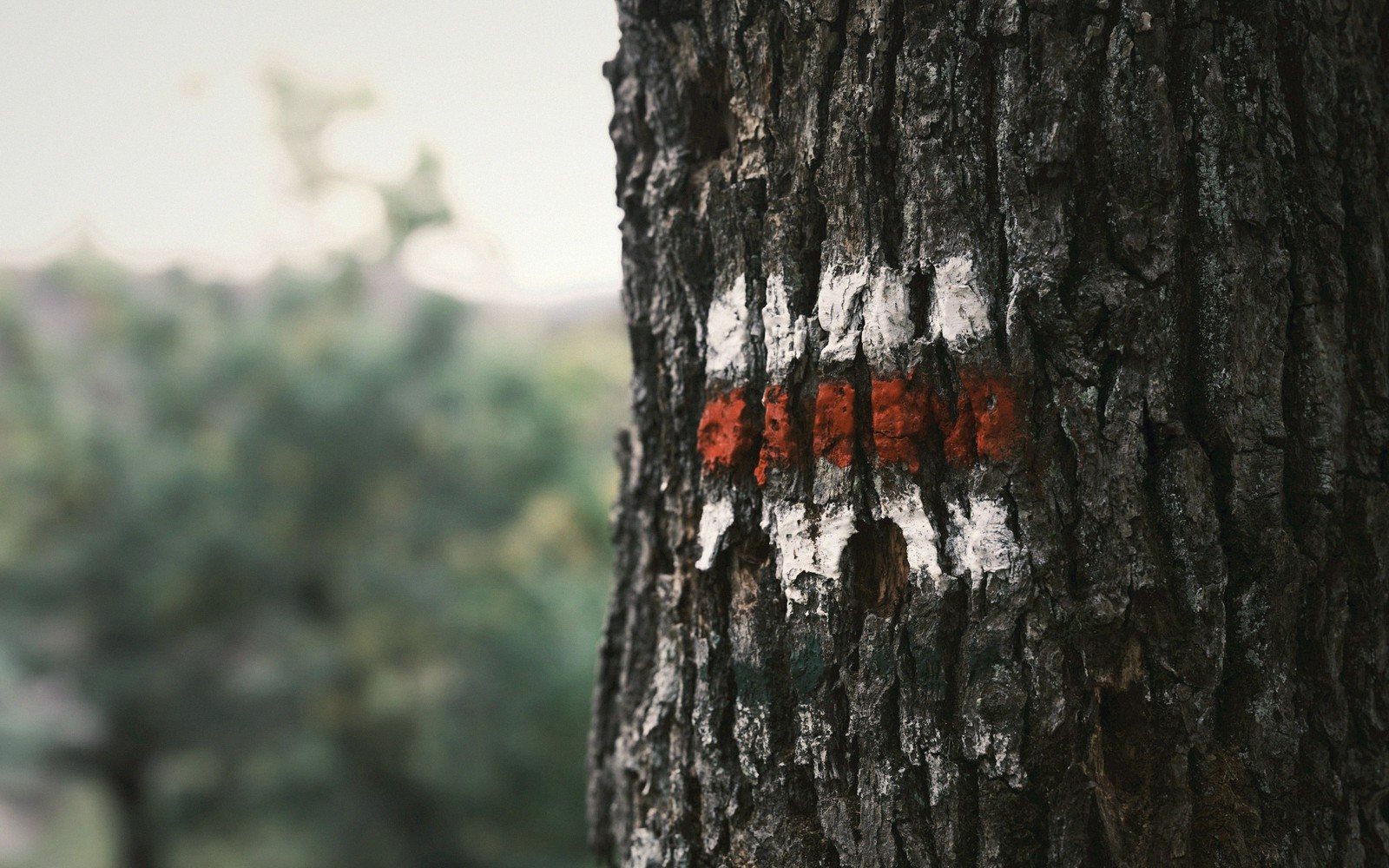
The Appalachian Trail doesn't linger in Rockbridge County — it rides the crest of the Blue Ridge through the county's eastern edge, threading through mature hardwood forest before descending toward the James River at Glasgow. That crossing, where the trail meets the river and resumes north, is one of the more dramatic transitions on the entire Virginia section: ridge to bottomland, forest to open water, in a matter of miles.
For a weekender with no interest in a thru-hike, this stretch rewards a focused half-day. The terrain here is honest — long ridge-walking on moderate grade, with the occasional exposed rock and filtered views through the canopy. It isn't a destination summit hike, but it earns its elevation gradually and pays it back with a sense of sustained distance that shorter county trails don't offer.
The James River crossing south of Glasgow is the logical anchor. Parking is accessible near the river, and the trail rises steadily from the floodplain onto the ridge proper, gaining elevation through an open forest understory. A morning start keeps the light useful and leaves the afternoon free. Three to five miles out-and-back from the James gives a fair read on the character of the ridge without requiring a car shuttle.
Late spring brings wildflowers low on the slope; autumn turns the hardwood canopy amber and copper and drops the humidity. Midsummer is hikeable but warm — the ridge catches a breeze the valley floor doesn't. Winter strips the trees and opens the views considerably, though the trail surface can be icy in cold snaps.
Bring more water than you think you need. The ridge is dry.
Parking is accessible near the river, and the trail rises steadily from the floodplain onto the ridge proper, gaining elevation through an open forest understory.

Worth knowingThis is not a summit hike: expect sustained, moderate ridge-walking, the occasional stretch of exposed rock, and views filtered through the trees.