01The River Before You Get On It
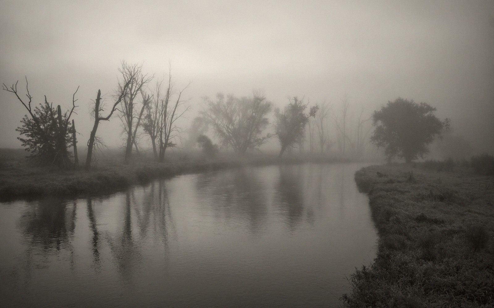
The Maury runs west to east across Rockbridge County, gathering water from the Alleghenies and the valley floor before it finds the James at Glasgow. By the time it reaches the stretches most paddlers use, it has settled into a rhythm that suits a morning: wide enough to read easily, clear enough in normal conditions to watch the bottom slide past, unhurried enough that a canoe or a sit-on-top kayak feels entirely appropriate. This is not whitewater country — not here, not on these reaches. What you get instead is a river that lets you look up.
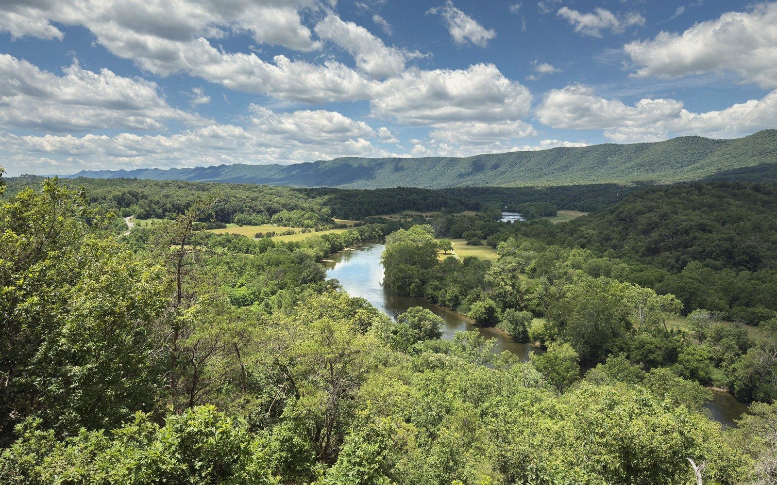
The Shenandoah Valley tends to draw eyes to the ridgelines, and rightly so, but the Maury gives you a different angle. From the water, House Mountain holds the northern skyline in a way it simply doesn't from the road. The flat-topped ridge reads differently from river level — wider, more imposing, the vertical drop of its eastern face compressed by distance into something that looks almost like a plateau edge. Herons work the shallows. Kingfishers move in low, straight lines from bank to bank. A beaver-felled poplar slumps into the water somewhere along most stretches. The river has its own quiet world, and a morning on it is a reliable way to find it.
02The Run: What to Expect
The stretch that most paddlers use runs from the Rockbridge Baths area downstream past the flanks of the valley, with several access points that allow you to tailor the length. The river here is predominantly Class I, with occasional Class I-plus riffles where the current tightens around gravel bars or bends hard against a limestone bank. Nothing here demands a spray skirt or a scouting stop. What it does demand is paying attention — to the line through a riffle, to the eddy behind a mid-river rock, to the drift of the current when the channel braids around a gravel island.
Lifted from the entryA beaver-felled poplar slumps into the water somewhere along most stretches.
The bottom is largely limestone cobble and gravel, which means the water runs cleaner than a muddy-floored river and the wading, where you need it, is stable underfoot. In normal summer conditions, many riffles are knee-deep or less; the pools between them can be chest-deep and tea-colored with tannins. After a rain, the whole character shifts — the pools go opaque, the riffles pick up speed, and the gravel bars that usually sit above the waterline disappear. The Maury can move a lot of water in a hurry. Read the gauge before you go, and understand that a river running at bankfull is a genuinely different proposition from the same river at summer low.
For a morning trip, the practical shape of the day is simple: drop a vehicle at the take-out, put in at the upper access, and let the current do most of the arithmetic. At summer flows, a relaxed paddle covering five or six miles will take two to three hours with stops. If you push, you can cover more ground, but there's no reason to push. The whole point of the Maury at low water is that it lets you idle.
| Term | What it means |
|---|---|
| Class I | moving water with small waves; no significant obstacles; suitable for beginners |
| karst | landscape formed from soluble limestone, characterized by sinkholes, caves and springs |
| riffle | shallow section where water flows quickly over rocks or gravel, creating surface turbulence |
| eddy | calm water behind an obstacle, where current reverses; a resting or maneuvering spot |
| bankfull | river level at which water fills its channel to the edge; near-flood condition |
| put-in | the point where paddlers launch onto the water |
| take-out | the point where paddlers exit the water at the end of a run |
| shuttle | moving a vehicle from put-in to take-out before launching, to recover at trip's end |
03The Logistics, Plainly
A shuttle is unavoidable unless you're willing to paddle upstream at the end, which you are not. The standard arrangement is two vehicles — one left at the take-out before you drive to the put-in together. If you're a solo traveler or a single-car group, local outfitters who work the Maury can arrange shuttles, though you should confirm their current operating schedule before you plan around them.
The river is navigable by canoe, recreational kayak or inflatable; sit-on-top kayaks work fine in summer. A hard-shell touring boat is overkill for these riffles but will move efficiently in the flatwater stretches. Bring something to keep your phone and car keys dry — a small dry bag costs almost nothing and solves the only real logistical anxiety of the morning. Sun exposure on open water is higher than it feels; mid-summer on the Maury means hours of direct light with no canopy on the wider reaches.
Access points are where this river can get complicated. Public river access in Virginia is a nuanced thing: the water itself is public, but the banks are often private, and put-ins and take-outs that work at high water may strand you in mud at low water, or involve crossing private land. Use established access points — those maintained by the county, the state, or by arrangement with local outfitters — rather than improvising. A put-in that looks obvious on a satellite image is not necessarily legal or practical.
The river has its own quiet world, and a morning on it is a reliable way to find it.
| Maury River | Rockbridge Baths |
|---|---|
| primary river draining Rockbridge County eastward, joining the James at Glasgow | small community in northern Rockbridge County; near upper paddle access |
Worth knowingFrom the water, House Mountain holds the northern skyline in a way it simply doesn't from the road.
04What the River Shows You
There's a version of Rockbridge County you only get from the water. The back sides of farms that face the river rather than the road. Sycamores with their pale, peeling upper branches extending over the current. The layered limestone of cut banks exposing the county's karst geology in cross-section — the same formation that produced Natural Bridge a few miles to the south, the same rock that goes hollow underground and reappears as springs along the riverbank.
Those springs are worth watching for. On a hot summer morning, a cold-water seep entering the main channel is visible as a shimmer — a slight thermal distortion where frigid groundwater meets the warmer surface flow. They're scattered along the banks throughout the middle stretches, small but reliable indicators of the aquifer system that underlies the whole valley. You pass over and alongside the same water table that feeds the springs at Goshen Pass and that eventually finds its way to where the Maury meets the James at Glasgow. On the water, the county's hydrology stops being abstract.
Wildlife, in the honest rather than promotional sense: you will almost certainly see great blue herons. You will very likely see kingfishers. You have a reasonable chance of wood ducks in the woody bends, of spotted sandpipers working the gravel, of an osprey in the warmer months, of a mink moving along the bank fast enough that you're not sure you saw it. Deer come to the water in the early morning and will look at a drifting canoe for longer than they look at anything on the road. None of this is guaranteed. It is the normal background of an undisturbed stretch of Virginia piedmont-and-valley river, and it accumulates over three hours into something that stays with you.

05Timing and Conditions
The Maury is most pleasant from late spring through early fall, with the long window of summer reliability its main appeal. Late May and early June can offer high but manageable flows and cooler air; the banks are green beyond reason, the sycamores newly leafed. July and August bring lower water, warmer swimming temperatures, and the full insect orchestra — which is not entirely a selling point, but is part of the honest picture. September is arguably the best month: water clear and low, air cooling, the first yellow beginning to appear in the silver maples along the banks. Crowds, never a serious issue on this river, thin further.
Winter paddling is possible for those properly equipped — drysuits, not wetsuits — but the river in January belongs to a different and more demanding category of trip than a relaxed morning float. Spring flooding can render the Maury dangerous well into April in a wet year. Check the USGS stream gauge, interpret it conservatively, and postpone without regret if the number is wrong. The river will be there next weekend.
The Maury is the most forgiving significant paddle in the county, and that is a straightforward compliment. Forgiving does not mean without character. It means that on a normal morning at a reasonable water level, the river gives you what you came for — time on the water, a valley seen from an angle that the roads don't offer, and the specific, uncomplicated satisfaction of letting a current carry you somewhere.
House Mountain
Noted on this sheet
flat-topped ridge north of Lexington, visible from the river
From the survey notes
Glasgow
Noted on this sheet
town at the confluence of the Maury and James rivers, eastern Rockbridge County
From the survey notes
USGS stream gauge
Noted on this sheet
U.S. Geological Survey instruments measuring real-time river levels
From the survey notes