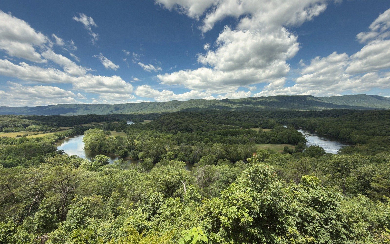
01The Idea
Rockbridge County is compact enough to cross in under an hour and varied enough that a single day's drive can feel like several different places. A loop route — starting and ending in Lexington, running north through Goshen Pass, cutting back along the river corridor and returning through Buena Vista — covers somewhere close to eighty miles of road, most of it worth slowing down for. The circuit is not a race. Done properly, with a riverside stop and time on foot in at least one town, it fills a day comfortably without leaving you hollow at the end of it.
The recommended direction is counterclockwise: north through the mountains first, river corridor in the afternoon, the low ridge south as the light softens. The reason is simple — Goshen Pass faces roughly west, and you want the gorge walls lit when you arrive, not when the canyon is already in afternoon shadow on your return. Get an early start if you can; the Maury runs fast and cold in the morning and the light in the pass is good before midday.

02Leg One: Lexington North to Goshen Pass
Leave Lexington heading north on Virginia Route 39. The road begins in the Shenandoah Valley floor, flattening briefly past the northern edge of town before the terrain starts to gather itself. Within a few miles the landscape tightens — limestone ridges approach from both sides, and the Maury River, still unhurried here, begins to claim a presence in the valley beside you.
Lifted from the entryGet an early start if you can; the Maury runs fast and cold in the morning and the light in the pass is good before midday.
Rockbridge Baths appears before Goshen, a quiet crossroads with the river nearby, and it is worth a slow roll through rather than a full stop — save your time for the pass. The village marks a change in the road's character: the valley narrows, the gradient sharpens, and the trees close in. By the time the gorge proper begins, Route 39 is threading through one of the more dramatic short drives in the Virginia mountains.
Goshen Pass is the centerpiece of this leg. The Maury River carved this gap through Hogback Mountain over an immense span of time, and the resulting gorge — steep forested walls, exposed rock faces, the river running loudly below the road — is unlike anything else in the county. Pull off where the road allows and walk down to the water. The river moves fast through here even in moderate flow; after spring rain it becomes genuinely loud, and the boulders mid-channel run white. A state wayside provides parking and river access at the lower end of the gorge. This is not a place to drive through without stopping.
On the far side of the pass, the road descends into Goshen, a small village tucked into the narrow upper valley. It is a place to orient and turn rather than linger — though the intersection there is a useful waypoint. From Goshen you have options for extending north or west, but the loop turns east here, following Route 39 back toward Lexington only as far as the junction, then picking up secondary roads south toward the James River corridor.
| Lexington | Goshen Pass |
|---|---|
| county seat and starting/ending point of the loop | gorge on the Maury River cut through Hogback Mountain, Route 39 |
03Leg Two: The River Corridor and Glasgow
The drive southeast from the Goshen area to Glasgow traces the grain of the land — long ridges running roughly northeast-southwest, with the Maury River threading through the valley below them. The road through this section passes working farms, older woodlots, and the kind of quiet that suggests you are well off anyone's main itinerary. Traffic thins considerably after the pass.
Glasgow sits at the southern end of the county where the Maury meets the James. It is a small town with a direct, unpretentious character — not polished for visitors, not particularly concerned about being on the way to somewhere else. The confluence itself lies just south of town and rewards a short detour: the two rivers join at a wide bend, and the James here is a noticeably larger body of water than the tributary feeding into it. The color changes too — the Maury running clear and quick, the James moving with more volume and authority, the merged current carrying both personalities downstream. Standing at that bank in the early afternoon, with the Blue Ridge behind you and the James ahead, you have a clear sense of the county's geography: mountain water finding its way to the Piedmont.
From Glasgow the loop turns north and west, back up through the valley on U.S. 501 toward Buena Vista. This stretch is efficient driving — comfortable two-lane road, open views to the ridges on both sides — and it sets up the last proper stop of the day.
The road begins in the Shenandoah Valley floor, flattening briefly past the northern edge of town before the terrain starts to gather itself.
Worth knowingThe reason is simple — Goshen Pass faces roughly west, and you want the gorge walls lit when you arrive, not when the canyon is already in afternoon shadow on your return.
04Leg Three: Buena Vista and Back to Lexington
Buena Vista sits on the Maury just south of Lexington, and its character is distinctly its own — a working-class river town that grew around manufacturing and never quite reinvented itself as a destination. That is not a shortcoming. The main street has the bones of an honest small city: brick buildings, a walkable core, the river close by. The mountain behind town — a long, forested ridge that blocks the eastern sky — gives Buena Vista a hemmed-in quality that is more dramatic than it might sound on paper. On a clear afternoon, the ridge throws early shade across the lower streets while the valley floor is still lit.
The Maury through Buena Vista is accessible and worth ten minutes on the bank. After spending time at the gorge and the confluence, it is useful to see the same river in its middle passage — wider here, lower gradient, moving with less urgency than at Goshen but with more substance than the headwaters. If you are tracking the river through the full loop — which this circuit essentially does, from the pass to the confluence — this is a natural final note.
The return to Lexington from Buena Vista is a short run on U.S. 60, perhaps seven miles, and the drive north along the valley gives one last look at the full ridge-and-river tableau that defines Rockbridge County's landscape. House Mountain, the flat-topped summit that looms west of Lexington, comes back into view on the final approach — the same landmark that anchors the view going out, now marking the return.
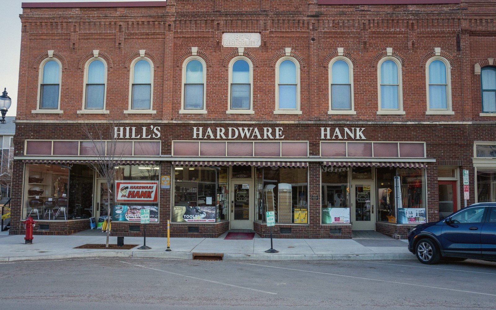
If you time it right, you arrive back in Lexington with enough light to walk a few blocks of the brick grid downtown — an easy coda to a day spent mostly outside. The town's compact core, Washington and Lee University and the VMI parade ground at one end, the commercial blocks and the market at the other, takes no more than twenty minutes to cross and offers coffee, food and a bench in reasonable proximity. End the day there rather than driving through.
Rockbridge Baths
Noted on this sheet
small crossroads community north of Lexington on Route 39
From the survey notes
Glasgow
Noted on this sheet
small town at the confluence of the Maury and James rivers
From the survey notes
Buena Vista
Noted on this sheet
river town on the Maury, south of Lexington
From the survey notes
05The Logic of the Route
What makes this loop work is sequencing rather than mileage. The gorge comes early when you are fresh and the light is right. The confluence gives the afternoon a geographic punctuation. The final town stop absorbs the last hour without demanding energy you no longer have. No section of the drive is redundant — ridge, pass, river bottom, confluence, river town, valley floor, market town — and each transition is short enough that the circuit never feels like it is between things. It is always at something.