01The Logic of the Crossing
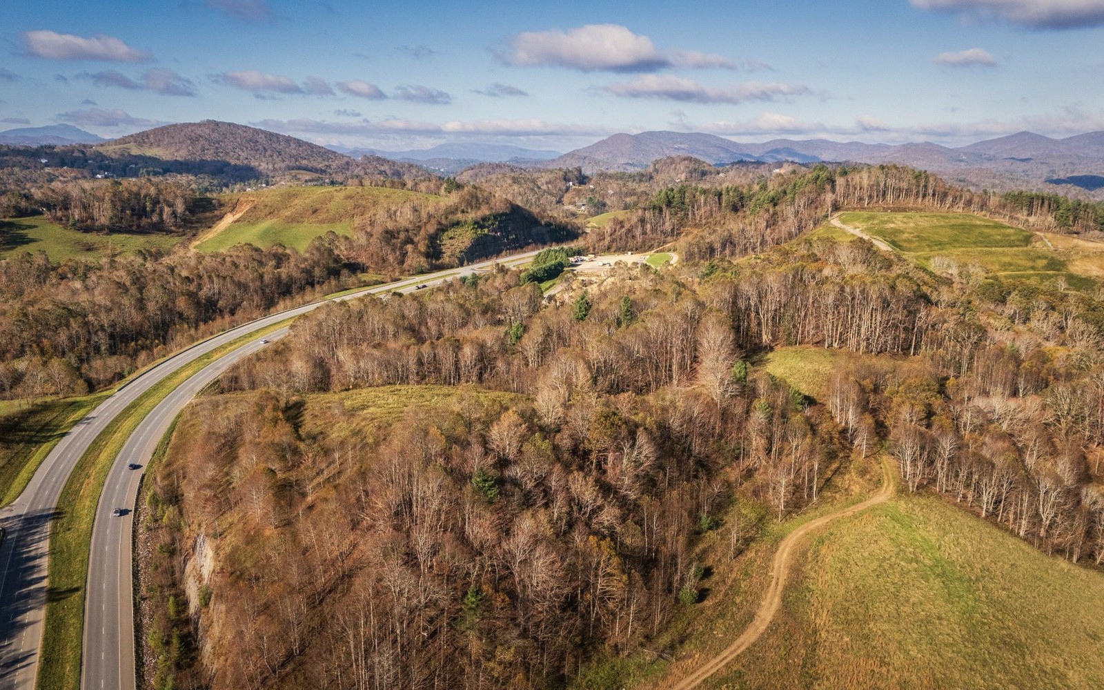
Every main road through Rockbridge County eventually confronts the Blue Ridge. The highways cross it at the gaps; the traveler who takes the parallel back roads earns something better. The ridge here is not a single wall but a series of parallel folds, and crossing it by the smaller gaps — rather than the big-infrastructure routes — puts you in direct contact with the geology: the grade steepens, the hardwoods close in, the pavement narrows, and then the world drops away on the other side.
The rewarding crossings share a common structure. You climb from the valley floor, usually following a creek that has found its own way through the rock, and you crest somewhere well above the farmland. The gap itself is rarely dramatic — often just a slight saddle in the treeline, a cattle gate, a change in the direction of the wind — but what follows is. The descent into the Piedmont, or back down into a hidden interior valley, happens fast and with a distinct change in the quality of the light. East of the ridge, the sky opens differently.

02The Road and What It Passes
The best of these crossings in Rockbridge County tie into the broader Blue Ridge Parkway corridor without requiring you to drive the Parkway itself. One approach drops south from Lexington toward the James River gap at Glasgow, where the Maury meets the James and the ridge presses close to both banks. This is the lowest and most open crossing, more river passage than mountain road, but the transition from valley to river gorge to Piedmont foothills is vivid.
Lifted from the entryThe descent into the Piedmont, or back down into a hidden interior valley, happens fast and with a distinct change in the quality of the light.
The higher crossings reward a slower pace. The road climbs through second-growth oak and hickory, passes the occasional pull-off where the valley spreads west in full — the Shenandoah Valley floor flat as a tablecloth, the Allegheny front closing the far horizon — before the tree canopy reasserts itself and you lose the view entirely. That alternation is part of the experience: the ridge gives and withholds in roughly equal measure.
Coming back west, or beginning from the Piedmont side, the approach is subtler. The Blue Ridge reads as a single blue wall for a long time before the road finds its angle of attack and the grade begins in earnest. Watch for the moment the creek beside the road reverses its apparent direction — that is the watershed divide, and you are now sending water down the western slope toward the valley rather than down the eastern slope toward the Piedmont.
| Glasgow | Lexington |
|---|---|
| small town at the James River gap, southeastern Rockbridge County | county seat, western valley side, starting point for southern approach |
Worth knowingThe gap itself is rarely dramatic — often just a slight saddle in the treeline, a cattle gate, a change in the direction of the wind — but what follows is.
03What Changes on the Far Side
The temperature drops on the climb and recovers slowly on the descent. In autumn, the color often peaks a week later on the eastern slope than on the western face — the shadow side holds moisture, delays the turn. In spring, the reverse: the eastern slope greens up first, and crossing from a bare western valley into the first real leaf-out of the year has a quality close to time travel.
The far side is quieter. Traffic thins. The small communities on the eastern flank of the ridge — crossroads towns that serve the farms below — have a different register from the Shenandoah Valley towns: less trafficked, less oriented to through-travelers, more given to local business. That shift in character is as reliable a landmark as the gap itself, and it is the actual reason to cross slowly, by the small road, rather than to tunnel through.
the James River
Noted on this sheet
receives both slopes' drainage below the gap
From the survey notes
the Maury River
Noted on this sheet
Rockbridge's main river, joins the James at Glasgow
From the survey notes
the Blue Ridge Parkway
Noted on this sheet
federal scenic road running the spine of the ridge
From the survey notes