01The Cold Half: Winter Into Early Spring
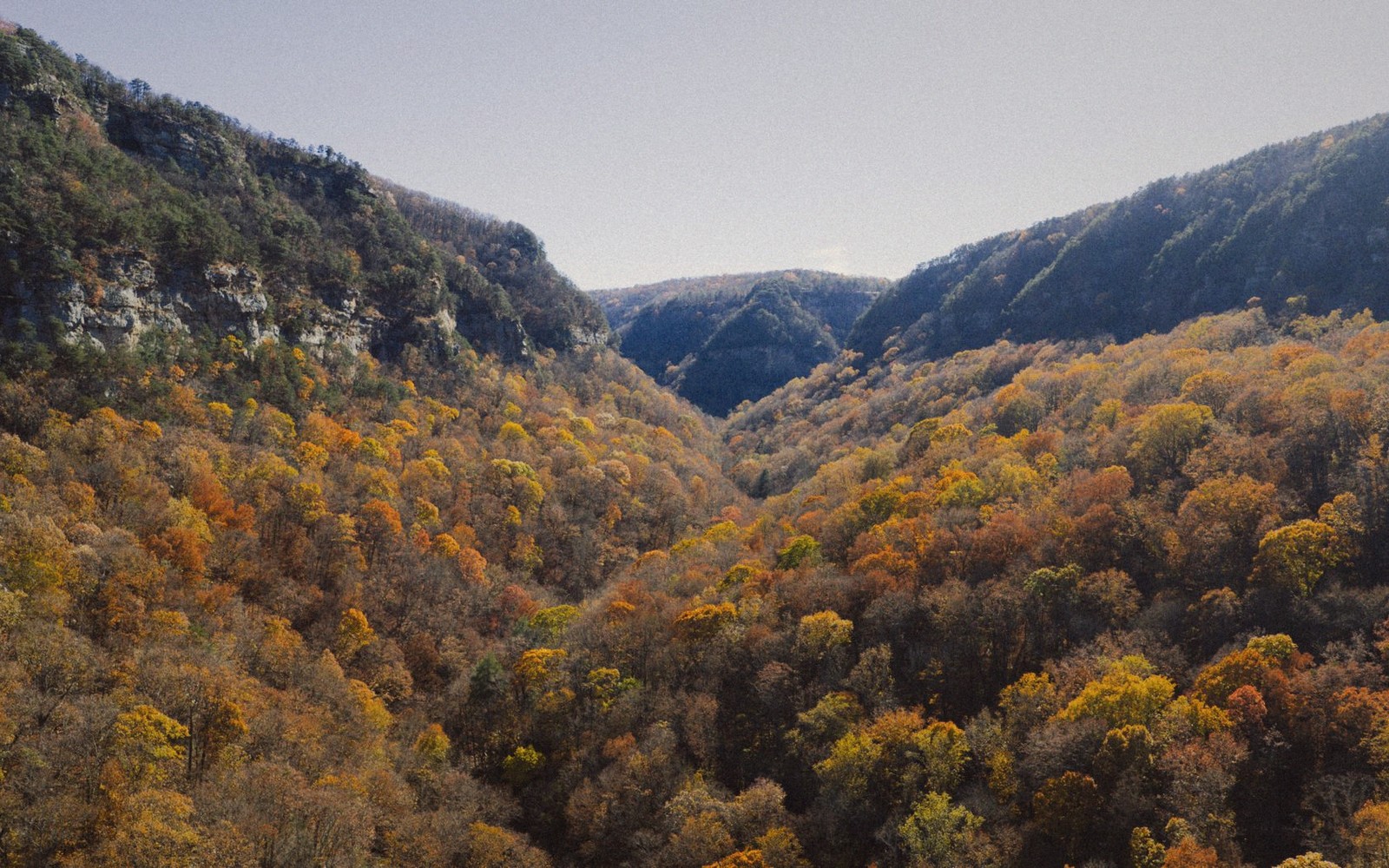
Rockbridge County rewards the off-season visitor more than it lets on. Strip away the foliage and the crowds and what remains is the bones of the place — ridgelines that leaf cover conceals for eight months, creek drainages that run clear and cold, and a quality of light in January and February that is genuinely uncommon: low-angled, long-shadowed, silvery against limestone and bare hardwood.
Winter is the season for Natural Bridge without negotiation. The arch stands two hundred and fifteen feet above Cedar Creek, and in cold months the gorge below it belongs almost entirely to the geology. The cedar-gray rock, the water, the height — nothing competes. The same logic applies underground. The show caverns of the Valley run at a stable temperature year-round, somewhere in the mid-fifties Fahrenheit, which means they are warmer than the air outside in January and cooler than it in August. Winter visits involve no queue, no heat, no sense of being processed.
On the ridges, bare hardwoods open up sight lines that summer hides. House Mountain's flat-topped summit, a strenuous mile-plus of climbing west of Lexington, delivers a panoramic reward in any season, but the view north and south along the Great Valley in January — farms spread below like a quilt, the Blue Ridge to the east, Allegheny Front to the west — has a clarity that haze and canopy both deny. The effort is honest and the summit is quiet.
Devils Marbleyard, the chaos-field of half-billion-year-old quartzite boulders on the flanks of Belfast Mountain, is at its most navigable in the cold months. Summer growth tangles the approaches; in winter the boulder field is exposed and the scramble is cleaner, though the footing is always demanding. The rock itself — angular, pale, heaped at improbable angles — looks more alien against a leafless hillside than it does in green.
Late winter is the first season of the rivers. The Maury runs cold and usually clear through Goshen Pass before the snowmelt complicates things. In calm years a late-February morning in the pass — the gorge narrowing, the river running audible against the road — is among the best low-temperature experiences in the county. The rhododendron is still dormant, the rock is exposed, and the place shows its structure plainly.

02The Turn: Spring
Spring arrives in the Valley floor well before it reaches the ridge. By the time the meadows along the Maury between Rockbridge Baths and Buena Vista are greening, the upper flanks of House Mountain may still be locked in late frost. This differential matters to the road-tripper: the lower drives open first, the high-country hikes come later, and chasing the green line up the slope over several weeks is a pleasure in itself.
Lifted from the entryOn the ridges, bare hardwoods open up sight lines that summer hides.
Goshen Pass earns its reputation most dramatically in the weeks when the rhododendron blooms along the river corridor. The timing shifts with the year, but the rule holds: the gorge road, the Maury running below it, and the laurel and rhododendron erupting from the cliff faces together constitute one of the most intensely beautiful short drives in western Virginia. At peak bloom the color is extravagant by any standard. It does not last long. The narrow window is part of the point.
The Maury River corridor is the county's best spring waterway. Snow melt and spring rain push the river to levels that make flatwater paddling impractical and whitewater serious. Reading the water before committing to a section matters; what those levels mean in practice shifts the calculus significantly depending on whether you are in a kayak, a canoe or on foot along the banks. By mid to late spring, levels moderate and the upper sections of the river settle into the kind of clear, moving water that makes a morning float genuinely restorative.
The trout fishing community understands spring in Rockbridge before anyone else does. The Maury and its tributaries hold wild and stocked trout, and the early-season access to moving water draws anglers to the county when the rest of the tourism traffic has not yet appeared. This is not incidental: spring is a good time to find the county at a human scale.
On the trails, spring bloom runs in sequence — serviceberry first, then dogwood, then the understory wildflowers. The lower elevation paths along the James River bottomland near Glasgow and the Maury's banks host ephemeral wildflowers that vanish by early summer. Timing a walk for that brief window, before the canopy closes and the heat arrives, takes a little attention but no special luck.
| Natural Bridge | Goshen Pass |
|---|---|
| 215-foot natural limestone arch over Cedar Creek, Rockbridge County's signature landmark | narrow gorge cut by the Maury River through Little North Mountain, western Rockbridge County |
03The Full Season: Summer
Summer in the Valley is warm and hazy, and the haze is honest. The Blue Ridge Parkway, when it is open and clear, sits above the worst of it, and an evening drive along the high spine of the Blue Ridge, windows down, looking west into the fading light over the Valley, is a reliable pleasure that the season delivers. The overlooks earn their stops more dramatically in late afternoon than at any other hour.
The rivers come into their own. By midsummer the Maury is running at levels that suit a morning float — flatwater through open meadow, riffles under sycamore and river birch, the kind of easy pace that requires almost nothing and returns more than expected. The James, wider and slower below the confluence at Glasgow, has its own character: heavier, more southern in feel, moving through a broader floodplain toward the Blue Ridge gap. Where the two rivers meet, the water changes register, and the stillness of that corner is audible.
Boxerwood, the garden and woodland preserve on the western edge of Lexington, is worth understanding in summer: its canopy provides a genuinely cool microclimate on hot days, and the planting philosophy — native species, long-arc succession, landscape as living system — rewards close attention more than a quick pass. It is a different kind of outdoor experience from the ridges and rivers, and a useful counterpoint.
Heat makes the caverns sensible again. What felt like shelter from cold in February becomes shelter from humidity in July, and the underground temperature that seemed chilly in winter feels like mercy in summer. The logic of the caves follows the logic of the season.
Devils Marbleyard, the chaos-field of half-billion-year-old quartzite boulders on the flanks of Belfast Mountain, is at its most navigable in the cold months.
Worth knowingThe logic of the caves follows the logic of the season.
04The Best Half: Autumn
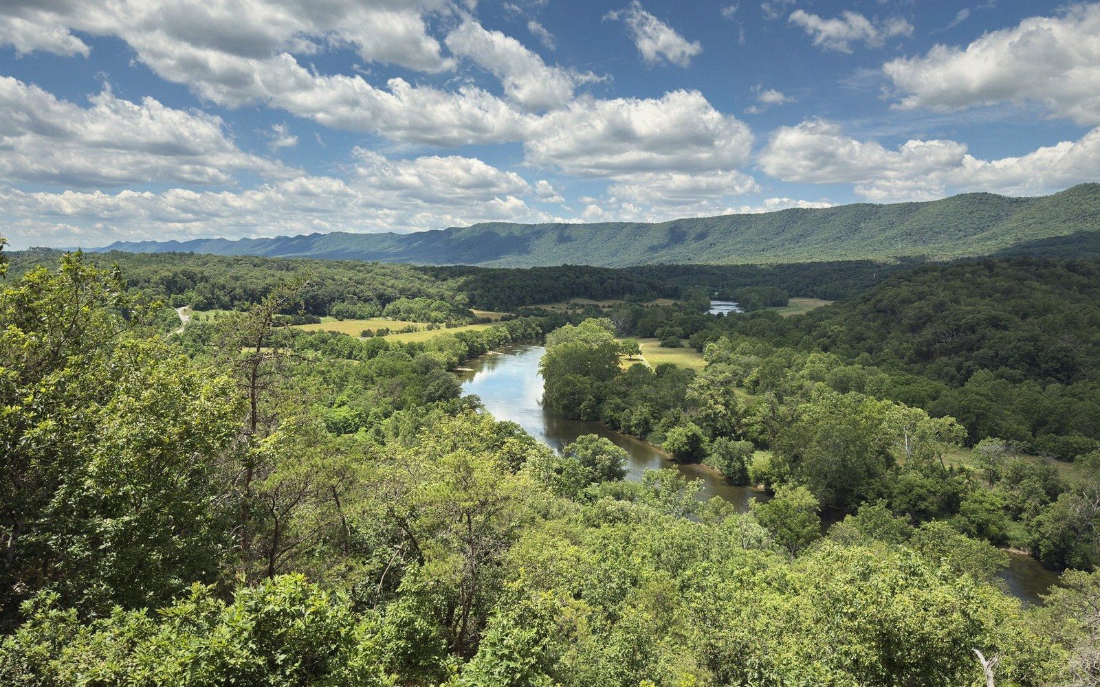
Autumn is when the county shows off, and it knows it. The color sequence runs from the high ridges downward over several weeks — maples moving first on the upper slopes, oaks holding their bronze well into late fall, the whole valley floor going golden in between. The Blue Ridge Parkway becomes a spectacle; the valley roads are in competition. The light in October has an angle and a warmth that photographers understand immediately.
The Appalachian Trail through Rockbridge reaches its scenic peak in fall. The long ridge walks that feel exposed and hot in August become cool, fragrant and luminous when the leaves turn. The trail through this section sits high enough to offer repeated views east over the Piedmont and west into the Valley, and in autumn those views are framed by color on both sides.
Fall is also the season to understand the back roads. The gravel connectors between the main valley corridors pass through working farmland, old woodlots and creek bottoms that peak in color with almost no traffic. A slow afternoon on a back road in mid-October, with no particular destination, is one of the better arguments for having come here at all.
The rivers thin and clarify in autumn. The Maury runs low and transparent over its limestone and slate bed, and the wading is easy and the gravel bars are wide. The Goshen Pass corridor in fall — the gorge, the road, the river — reprises its spring beauty in a different register: the same bones, warmer color, quieter water.
Rockbridge County does not close in November. The season's end is gradual, the light grows spare, and the cycle starts again.
the Maury River
Noted on this sheet
primary river of Rockbridge County, flowing through Goshen Pass and Lexington to join the James
From the survey notes
the James River
Noted on this sheet
major Virginia river; enters Rockbridge County near Glasgow
From the survey notes
Devils Marbleyard
Noted on this sheet
large boulder field of Antietam quartzite on Belfast Mountain, in the James River Face Wilderness
From the survey notes